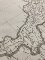
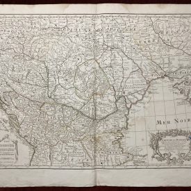
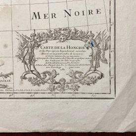
Original Engraved Map of Italy
***
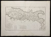
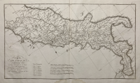
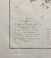
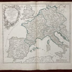
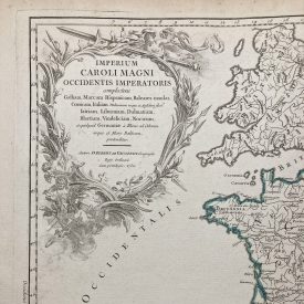
Carte de l’Italie proprement dite où l’objet principal a été de tracer les Voyes Romaines pour l’intelligence de l’Histoire Romaine de Mr Rollin.
***
Dimensions: 495 x 355 mm, 18.5 x 14 inches (plate); 410 x 250 mm, 16 x 10 (map)
Year: [1730]
***
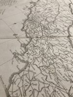
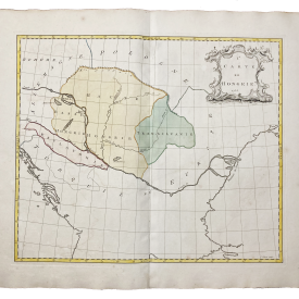
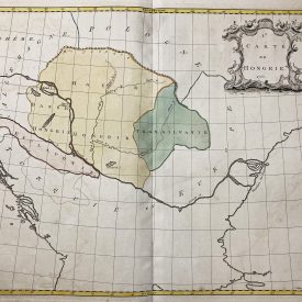
A map of the ancient Roman provinces and cities (Bruttium, Latium, Umbrie etc)
Author: Jean-Baptiste Bourguignon d’ Anville
Condition: Notable stain at the bottom side of the plate (shown on photo), line of folding, minor wrinkles.
***
For other details on the condition please see the photos. If you have any questions, feel free to contact us.
***
Please note that this is an original antique engraving. We don’t sell reproductions.
Item will be shipped in cardboard tube.