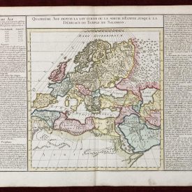
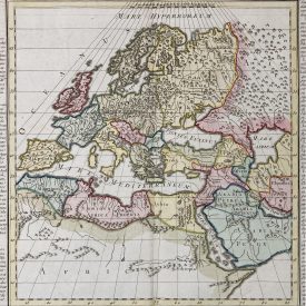
Britannicae Insulae
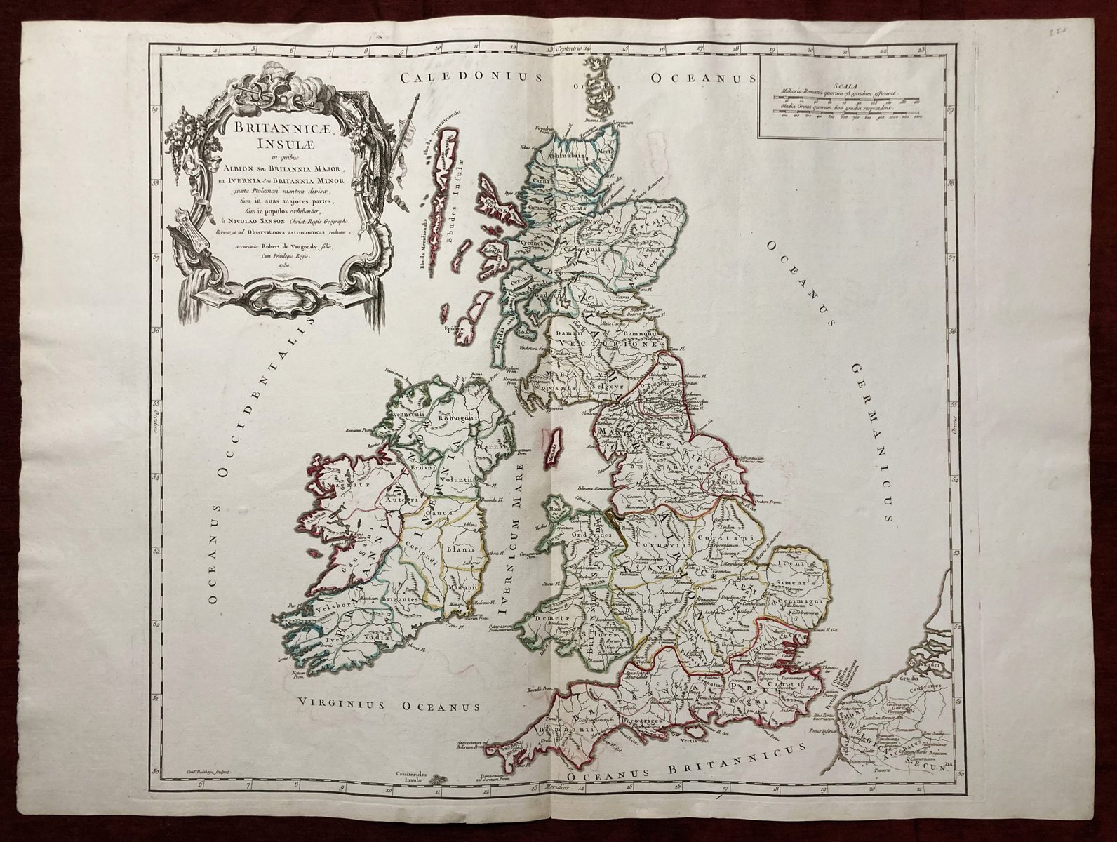
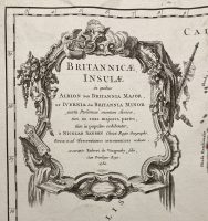
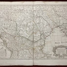
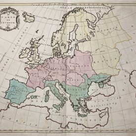
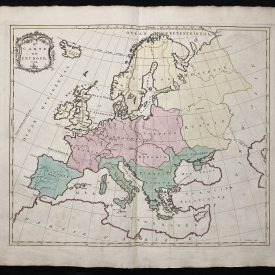
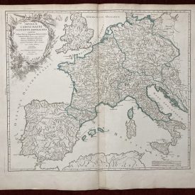
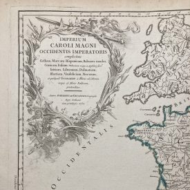
Large antique 18th-century atlas map Britannicae Insulae printed on thick, good-quality paper. Partially hand-colored.
***
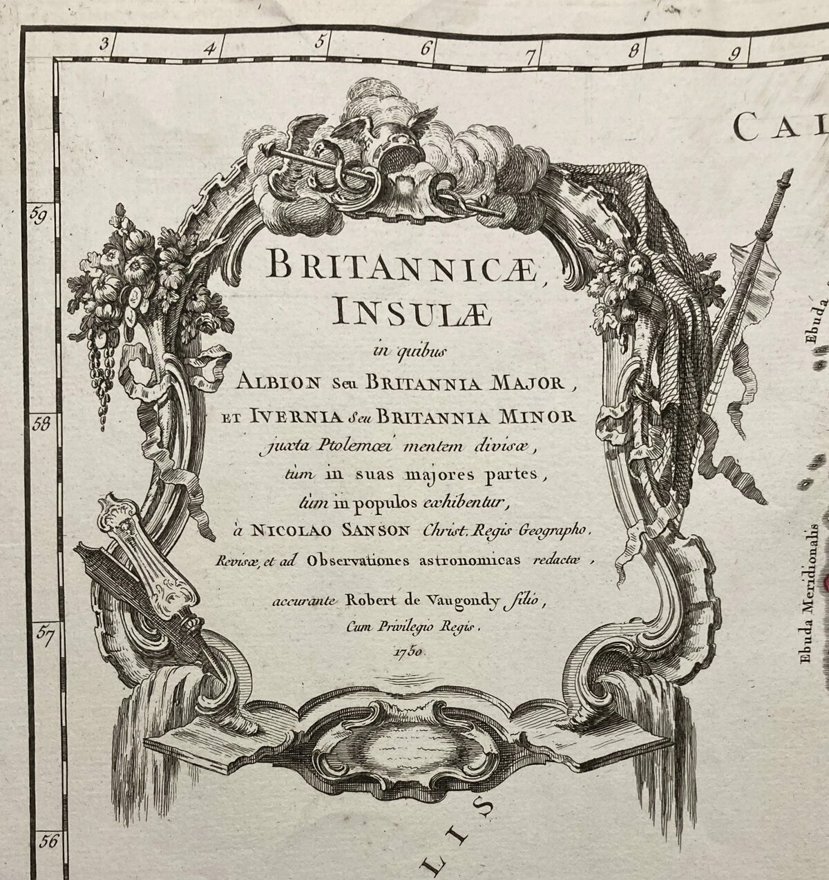
Full title: Britannicae, Insulae in quibus Albion Seu Britannia Major, et Ivernia seu Britannia Minor juxta Ptolemaei mentem divisae tùm in suas majores partes, tùm in populos exhibentur, à Nicolao sanson Christ, Regis Geographo, Revisae, et ad observationes astronomicas redactae, accurante Robert de Vaugondy filio, gum Privilegio Regis’
Dimensions: 55 x 50 cm
Year: 1750
Engraver: Robert de Vaugondy
Publisher: Gilles & Didier
Place Of Publication: Paris
Technique: Copperplate
Condition: Good; suitable for framing. Please check the scan for any blemishes prior to making your purchase. Virtually all antiquarian maps and prints are subject to some normal aging due to use and time which is not obtrusive unless otherwise stated. We offer a no-questions-asked return policy.
***
The item will be shipped in a cardboard tube.
For other details of item condition, please see the photos. More photos are available on demand. If you have any questions, feel free to contact us.
This is an original antique map. We don’t sell reproductions.

