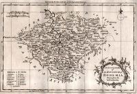
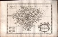
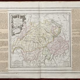
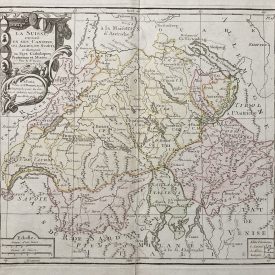
Antique Map of Bohemia
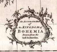
An antique map originally titled An Accurate Map of the Kingdom of Bohemia Drawn from the Best Authorities shows the territory of Bohemia in the 18th century. The compass rose in the top right and the title cartouche is in the bottom left corner of the map. The scale is shown in the top left corner. The relief is shown pictorially. Highly accurate and detailed map. Engraved by the King’s authority for the Geographical Dictionary.
***
Dimensions: 350 x 220 mm; 14 x 8.5 inches (approx)
Year: ca 1760
Engraver: George Rollos
Technique: Copperplate
Condition: Some minor spots and imperfections, in excellent condition otherwise.
***
For other details and conditions see the scans. If you have any questions, feel free to contact us. More photos are available on demand.
This is an original antique map. We don’t sell reproductions.
The item will be shipped in a cardboard tube. If you have any additional questions, please contact us.

")
")
")