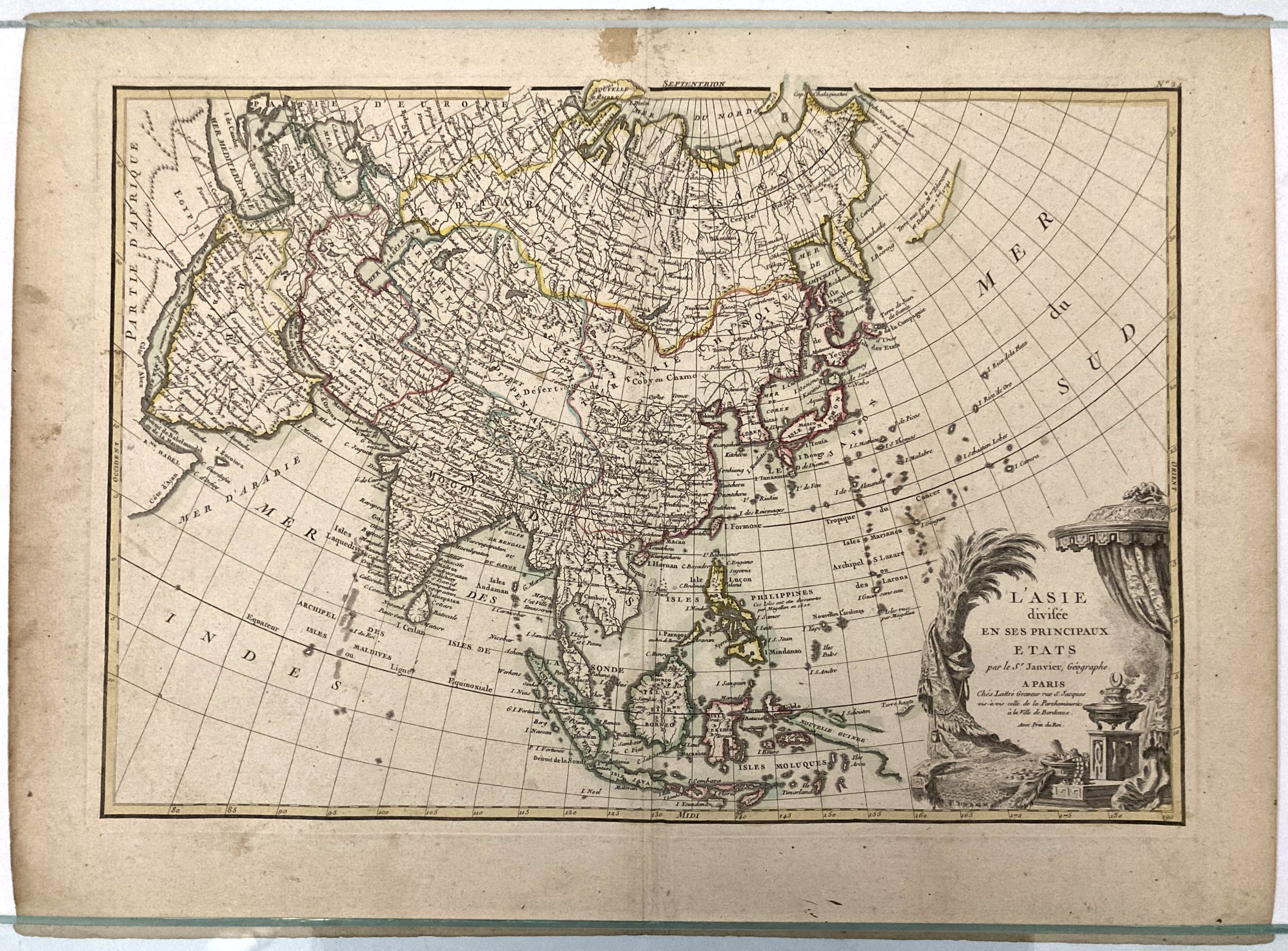
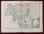
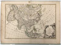
L’Asie divisee en ses principaux etats
par le Sieur Janvier
***
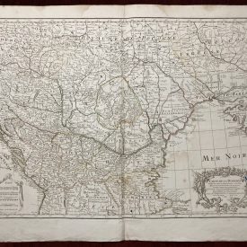
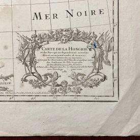
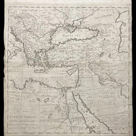
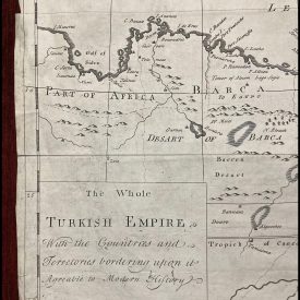
A beautiful antique map of Asia drawn by Le Sieur Janvier for issue as plate no. 24 in Jean Lattre’s 1783 final issue of the Atlas Moderne. It covers parts of Africa and the Mediterranean east to Bering Strait and south to Java and New Guinea. The map drafts out the up until then largely unexplored territory of the Far East, so some parts are only speculative and rudimentary. The decorative title cartouche in the lower left covers the uncharted territory, while the rest of the unknown land is left blank.
***
Dimensions: 52 x 39 cm (page) / 20,5 x 15,35 inch; 44 x 31 cm (map) /17,3 x 12,2 inch
Year: 1783
Engraver: Sr. Jean Janvier
Publisher: Jean Lattré
Place Of Publication: Paris, France
Technique: Copperplate
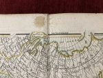
Condition: Centrefold line as issued, some browning and handling marks on edges.
***
The item will be shipped in a cardboard tube.
For other details of the item’s condition, please see the photos. More photos are available on demand. If you have any questions, feel free to contact us.
This is an original antique map. We don’t sell reproductions.