***
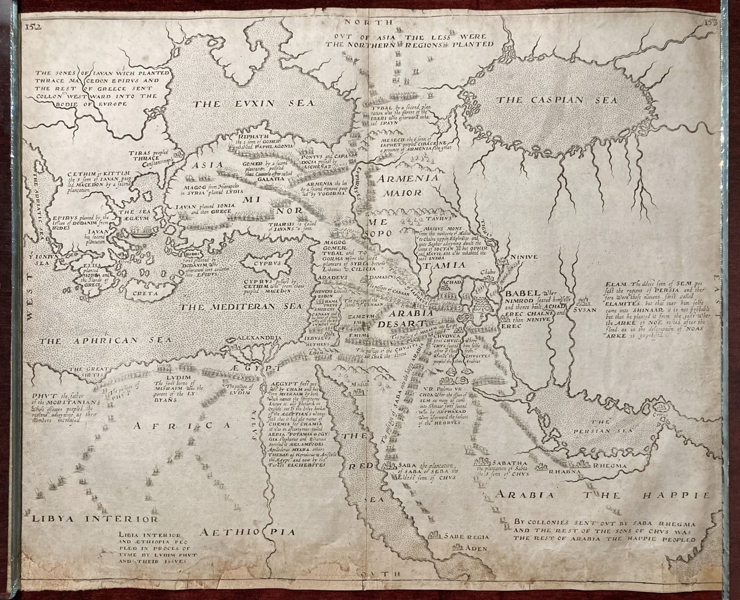
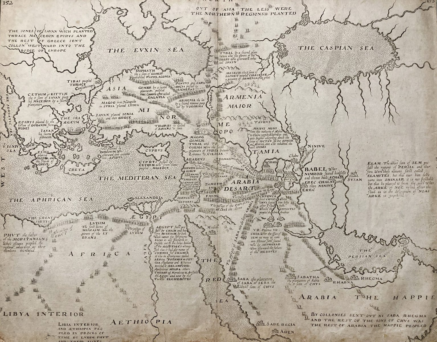
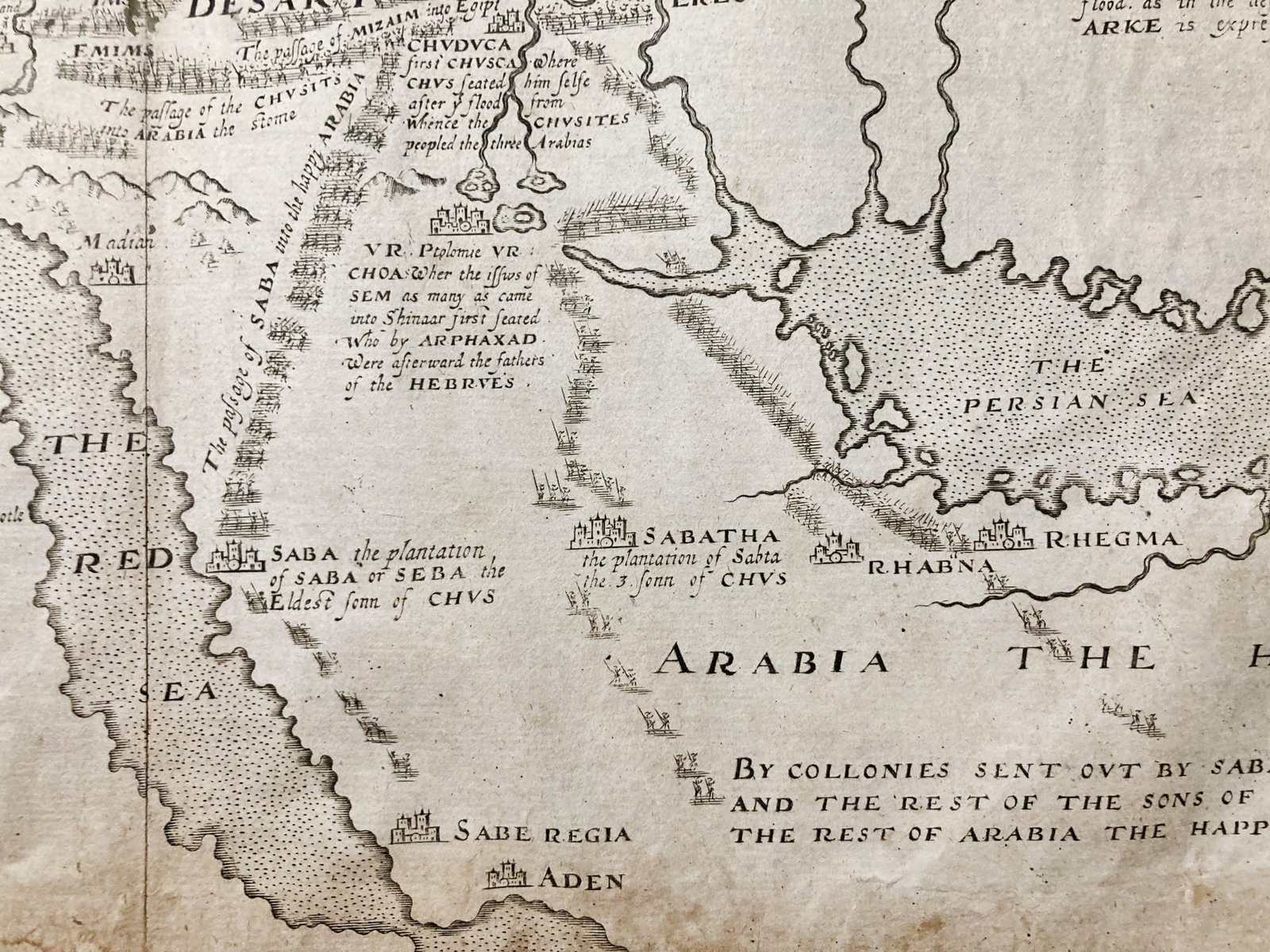
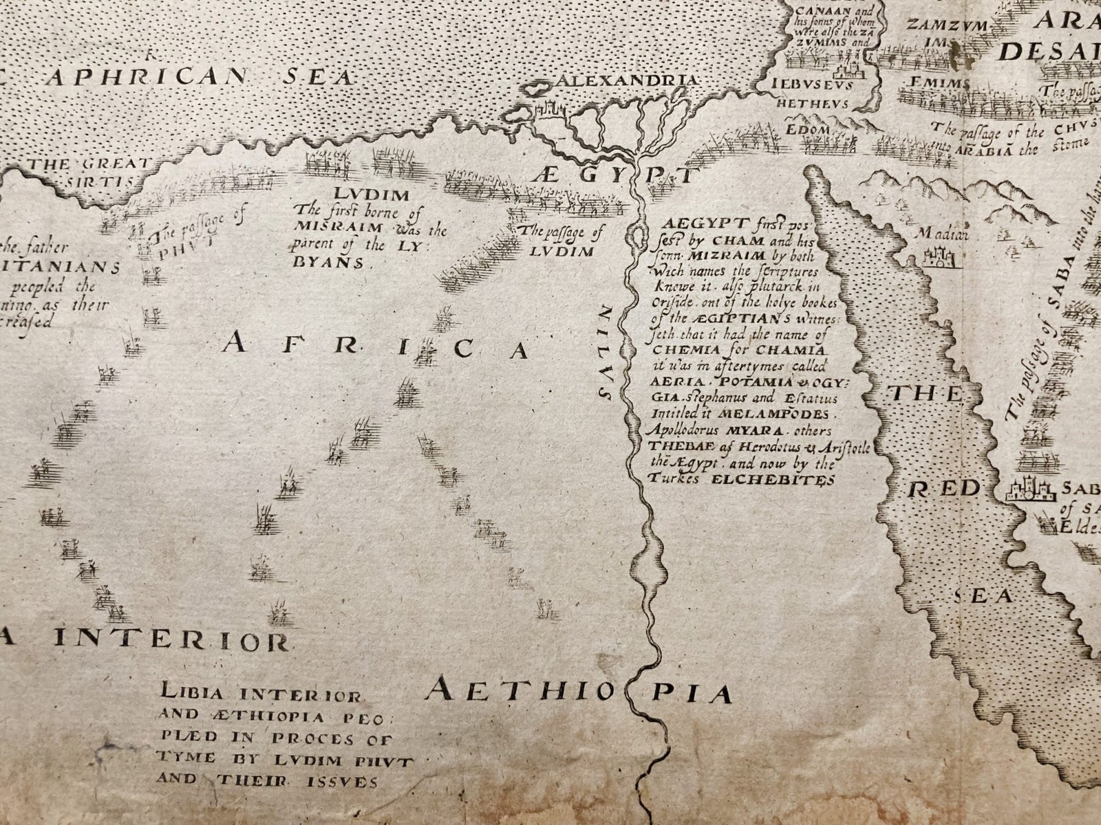
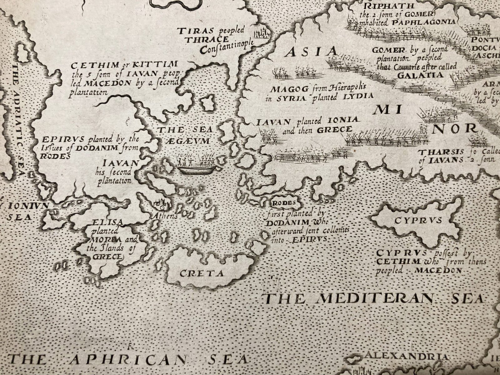
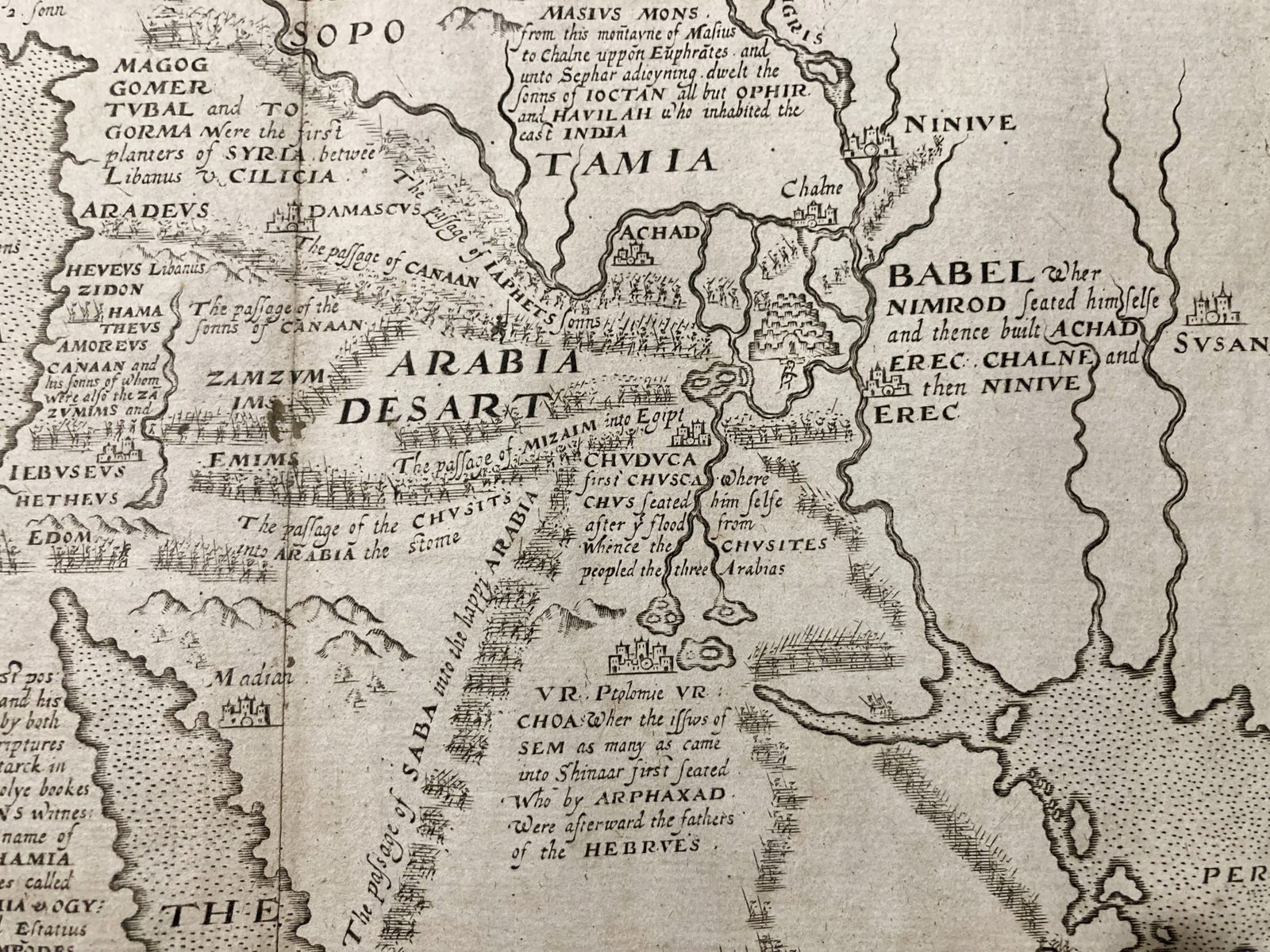
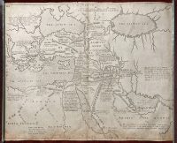
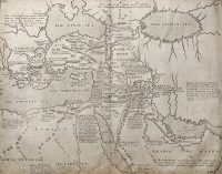
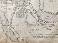
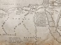
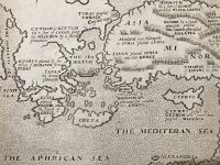
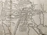
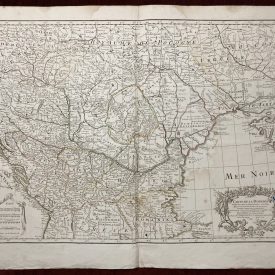
A rare example of William Hole’s 1614 map depicting the Middle East, which was created for Sir Walter Raleigh’s Historie of the World, showcases an extensive geographical area. It spans from the Adriatic Sea in the West to the Caspian Sea and the Persian Gulf in the East, including the Black Sea in the North and the Red Sea in the South. Hole’s map is adorned with his signature artistic flair, as he skillfully labels various Biblical and Historical regions. Interestingly, he refers to Arabia as ‘Arabia the Happie,’ likely borrowing the term from Plutarch’s description of it as the ‘happy garden of the world.’ Additionally, the map highlights significant cities of historical and biblical importance, such as Egypt, Babel, Ninive, Saba, and more.
William Hole (ca. 1588-1624)
William Hole was a skilled English engraver and cartographer from the late 16th to early 17th century. His impressive career spanned a range of artistic works, with a particular focus on creating detailed and decorative maps, illustrations, and engravings. Notably, he collaborated with Sir Walter Raleigh on the “Historie of the World,” crafting a series of captivating maps that combined geographical accuracy with artistic flair. Hole’s maps featured ornamental elements and meticulously labeled historical and biblical locations, earning him recognition as a significant figure in the history of cartography and engraving.
***
Dimensions: 39 x 32 cm
Year: [1614]
Place of Publication: London
Engraver: William Hole
Technique: Copperplate
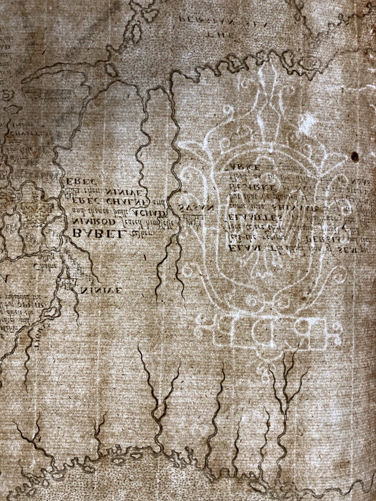
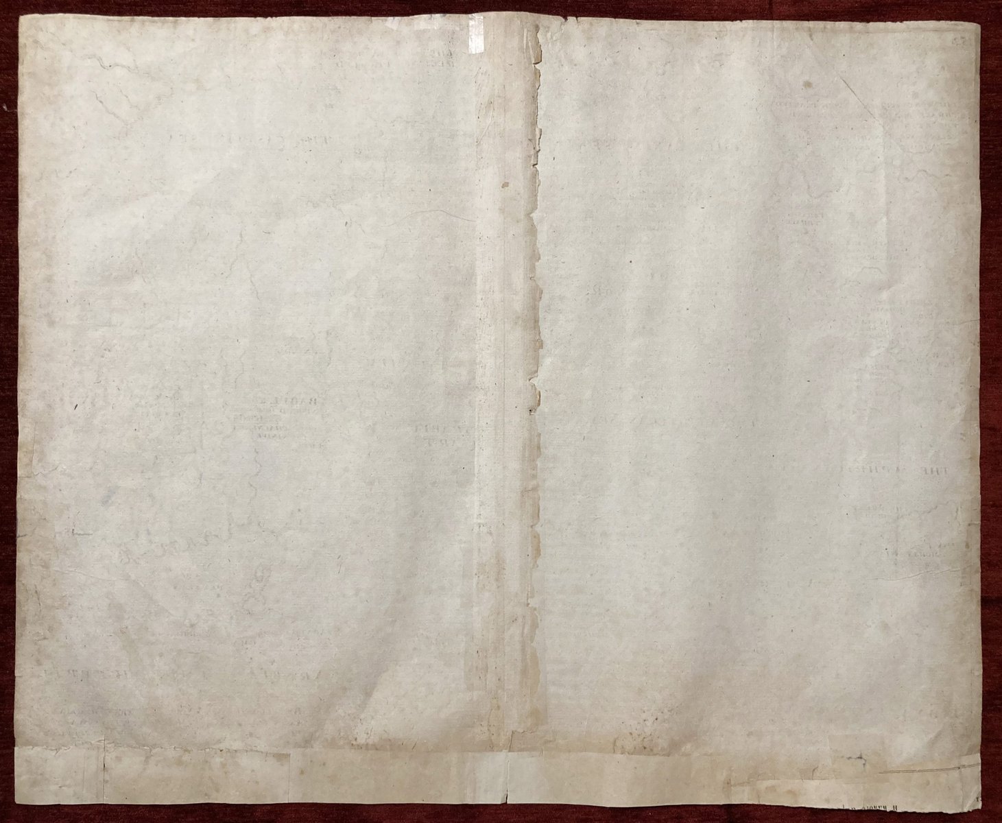
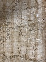
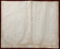
Condition: The map features a coat of arms watermark close to its right edge. It has undergone restoration, particularly along the bottom edge where traces of the map are missing. Traces of light staining and paper browning along the lower edge of the map.
***
For other details and the item’s condition see the photos. If you have any questions, feel free to contact us. More images are available on demand.
***
This is an original antique map. We don’t sell reproductions.

