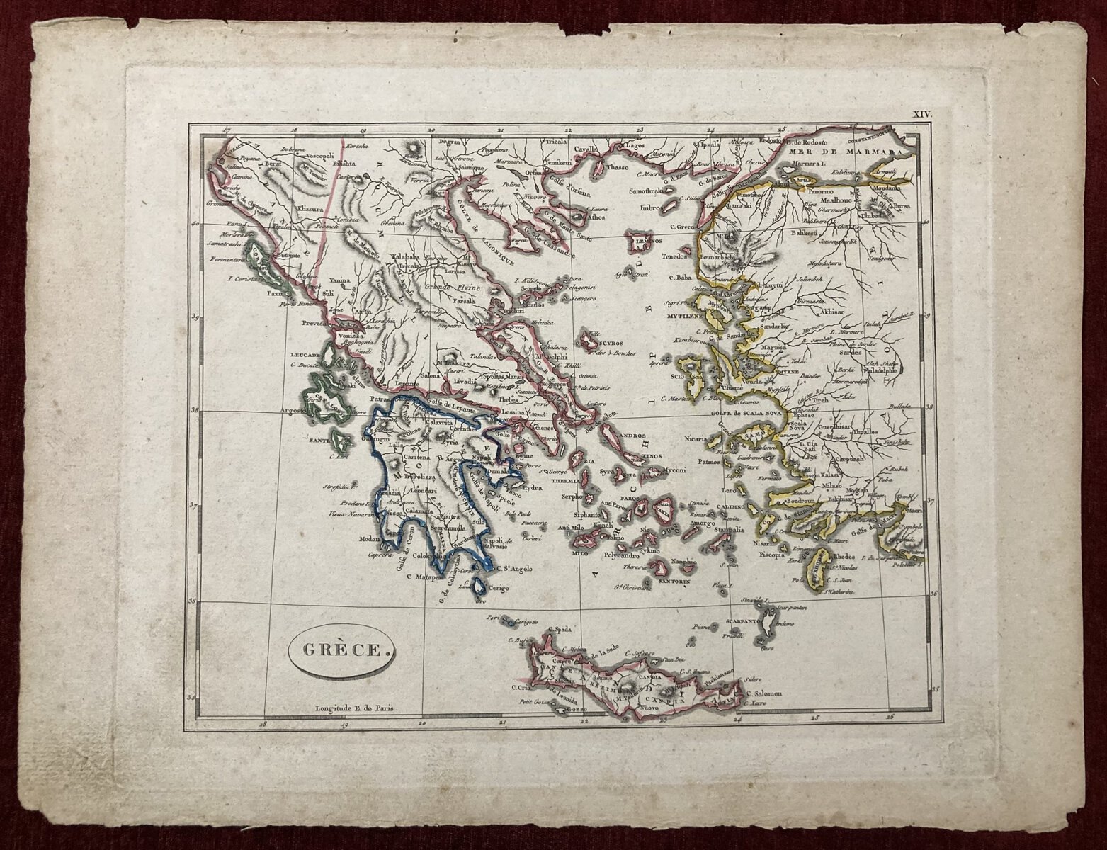
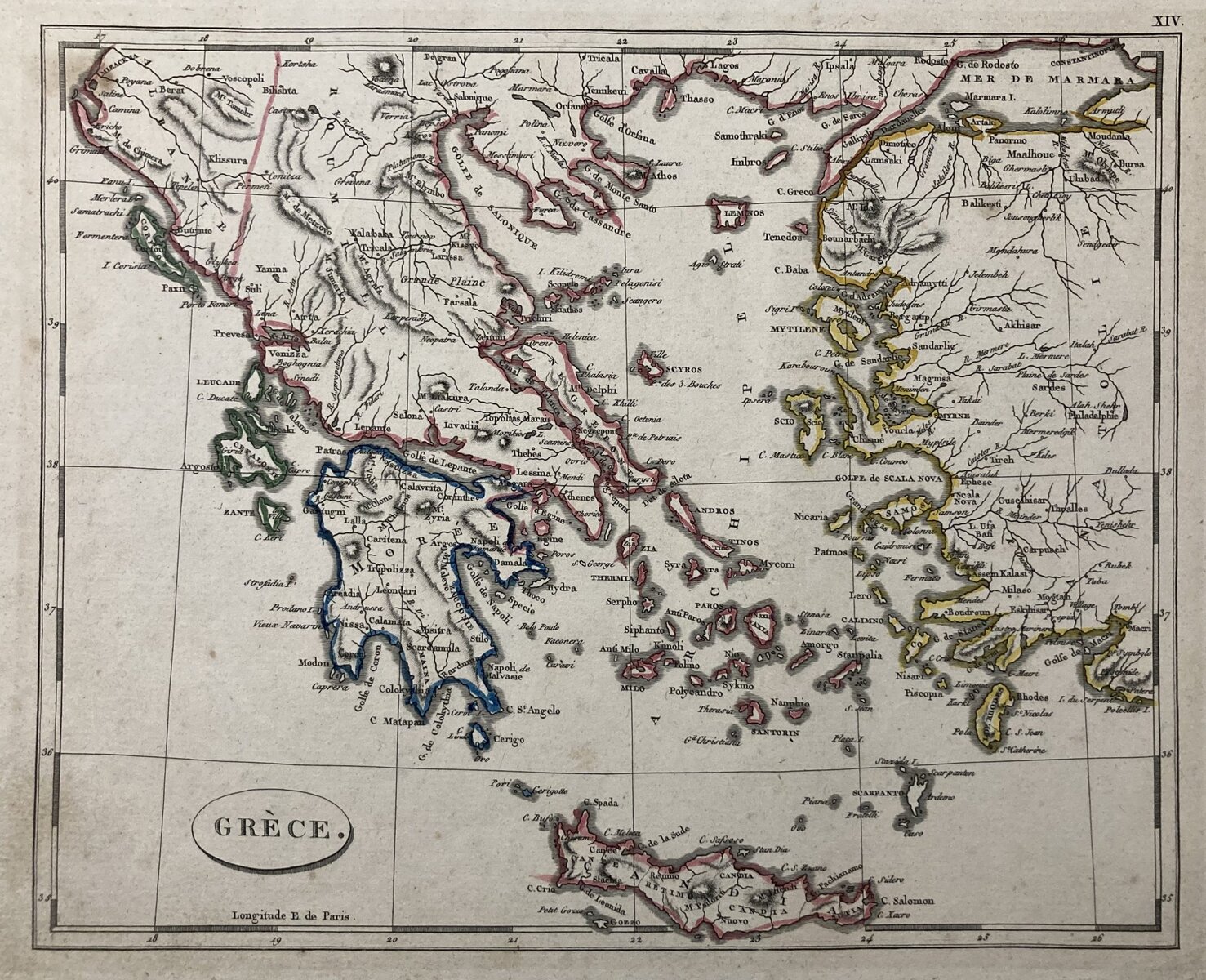
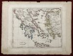
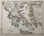
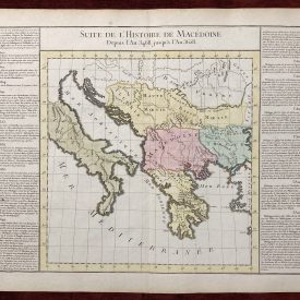
Antique Map of Greece
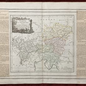
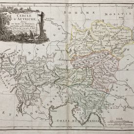
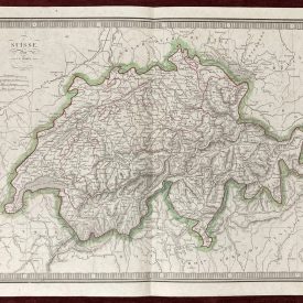
An antique map of Greece and all its islands. From the atlas Abrégé de géographie moderne, rédigé sur… by John Pinkerton
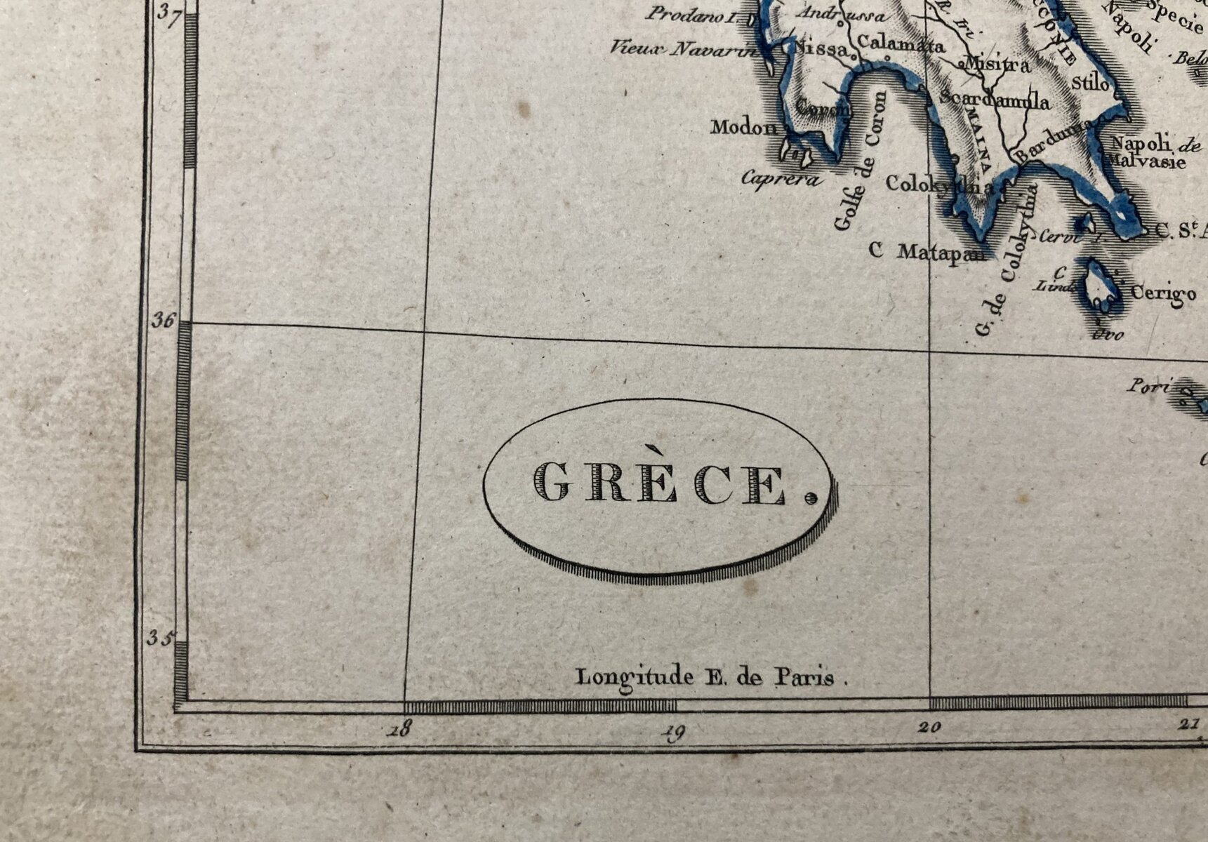
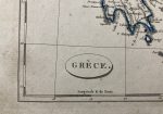
Abrégé de géographie moderne, rédigé sur un noveau plan : ou description historique, politique, civile et naturelle des empires, royaumes, états et leurs colonies […]. Plate XIV. Hand coloured, with title cartouche at the bottom left corner.
***
Dimensions: 350 x 260 mm; 14 x 10 inches (approx)
Year: 1811
Authors: John Pinkerton; Charles A Walckenaer
Technique: Copperplate
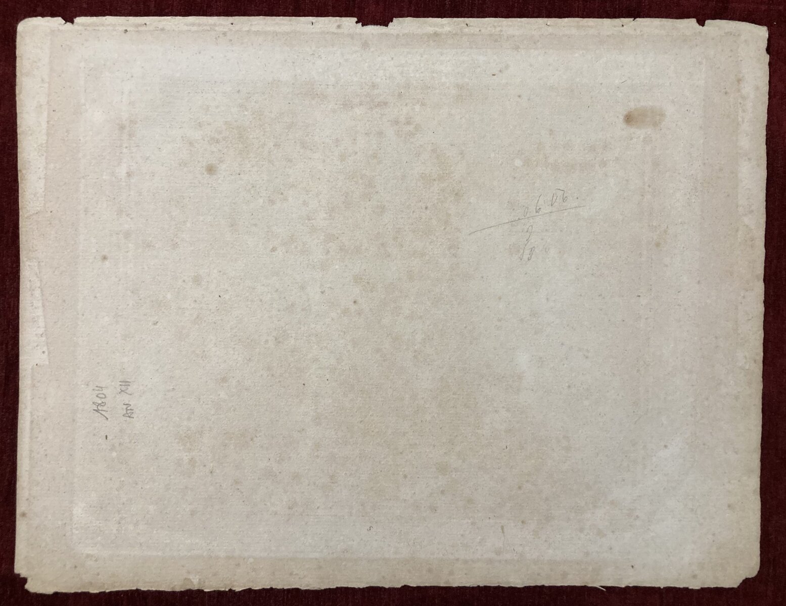
Condition: Some tears and creases along the edges of the print, a few minor spots and imperfections.
***
For other details and conditions see the scans. If you have any questions, feel free to contact us. More photos available on demand.
This is an original antique map. We don’t sell reproductions.
Item will be shipped in a cardboard tube. If you have any additional questions, please contact us.

