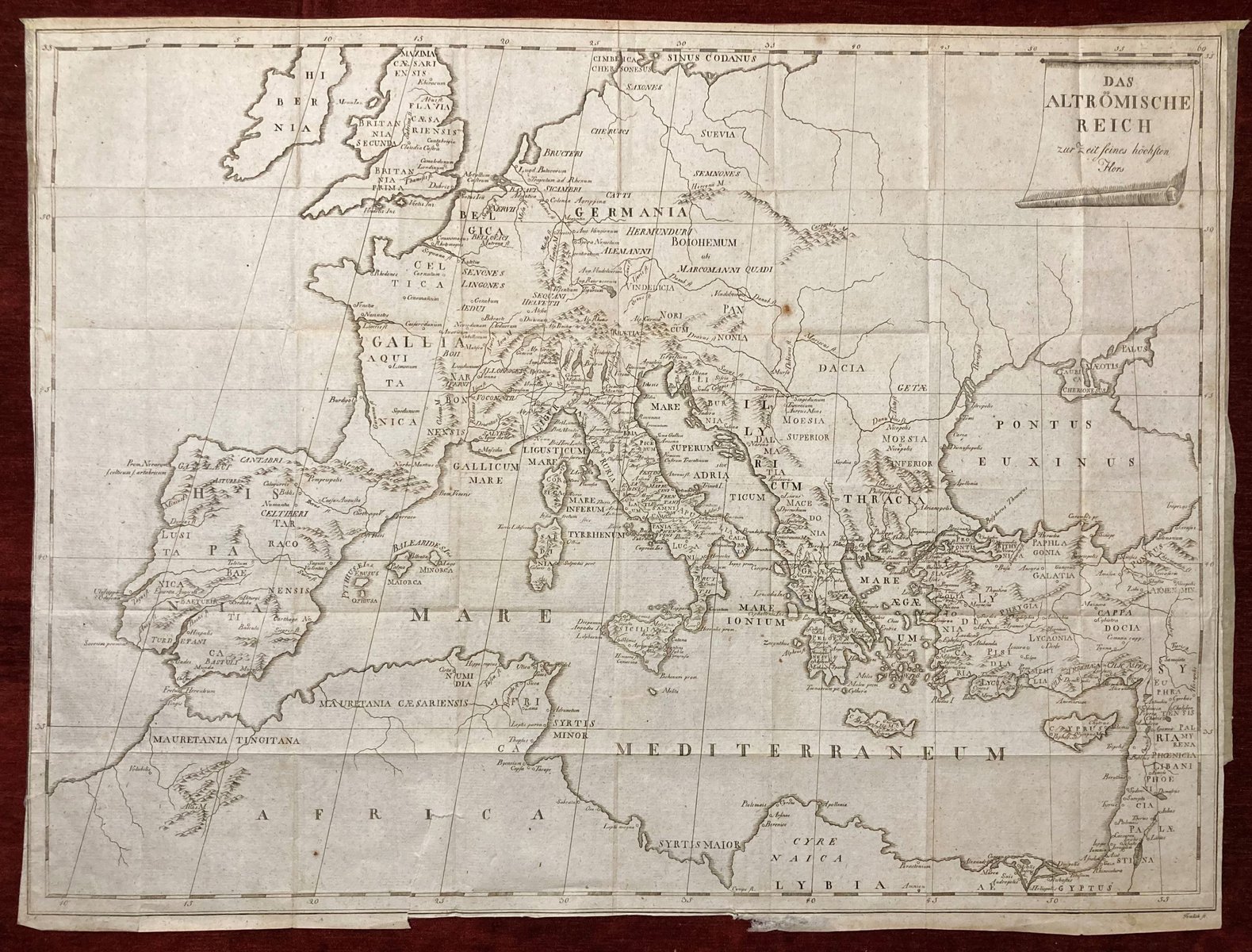
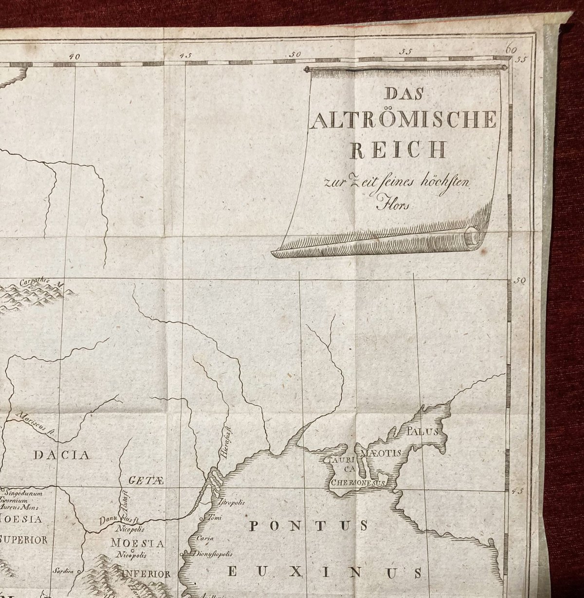
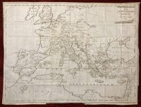
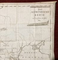
Das Altrömische Reich zur Zeit seines höchsten Flors
***
(The Ancient Roman Empire at the Time of Its Highest Flourishing) – In the German language
***
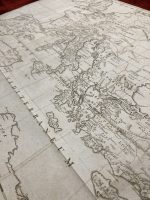
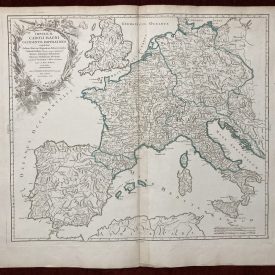
The map “Das Altrömische Reich” shows the Roman Empire’s boundaries at this time, including areas of Europe, Asia, and Africa that were under Roman control. It may also depict essential cities, trade routes, military outposts, and other significant landmarks that contributed to the success of the Roman Empire.
This extremely scarce map is an important historical artifact that provides insight into the cultural, political, and economic forces that shaped ancient Rome. From the book “Beschreibung Des Häuslichen, Wissenschaftlichen, Sittlichen, Gottesdienstlichen, Politischen Und Kriegerischen Zustandes Der Römer Nach Den Verschiedenen Zeitaltern Der Nation”. No other copy can be found for sale.
***
Technique: Copperplate
From the book: Beschreibung Des Häuslichen, Wissenschaftlichen, Sittlichen, Gottesdienstlichen, Politischen Und Kriegerischen Zustandes Der Römer Nach Den Verschiedenen Zeitaltern Der Nation
Author: Karl Timlich
Year: 1792
Place of publication: Vienna
Size: 52 x 39 cm; 20 x 15 inches
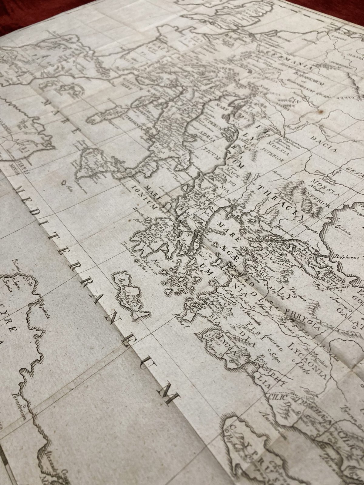
Condition: Lines of folding, some minor tears, and creases along the edges, print slightly faded. In very good condition.
***
For details on the condition, please see the pictures. If you have any questions, feel free to contact us.

