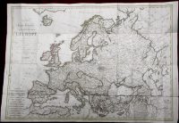
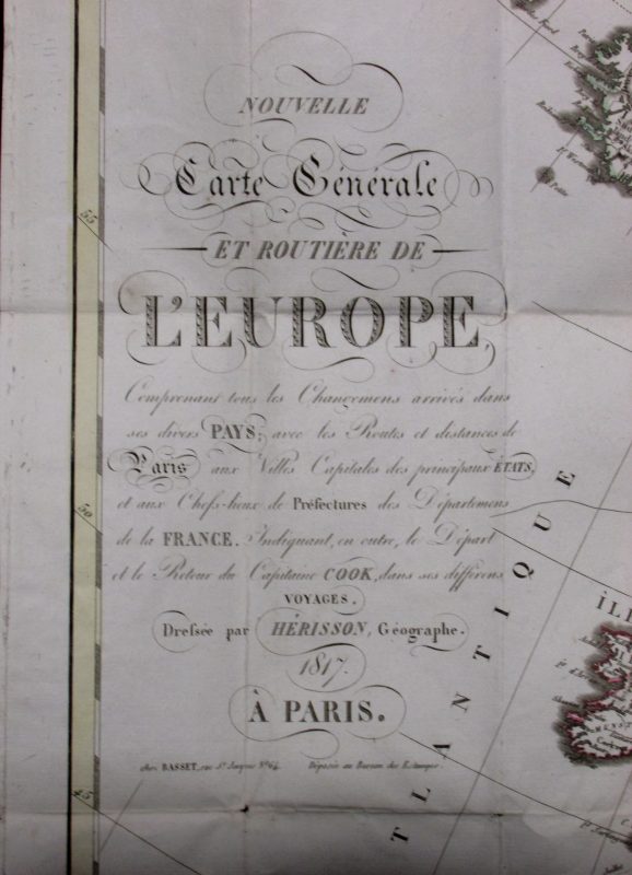
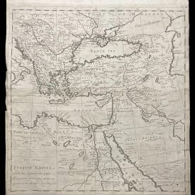
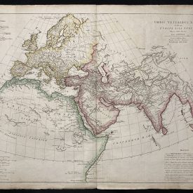
Nouvelle carte générale et routière de l’Europe
This beautiful and detailed large foldable map of Europe shows the new order implemented in Europe at the end of the Napoleonic Wars. The map was engraved by Eustache Herisson, the most famous mapmaker in early 19th century France, and was sold as a foldable map that would have been taken on journeys across Europe.
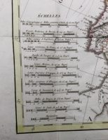
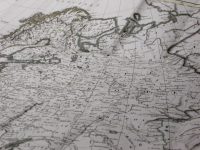
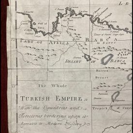
The map shows the political division of Europe agreed in the Congress of Vienna in 1815, which put an end to the Napoleonic Wars. It is extremely detailed, and in addition to several topographical names, it also depicts forests, mountains, marshes, and other geographical features. It contains a large cartouche in the top left as well as a scale with the different European measures at the bottom left. The map has been hand-colored, with the outlines of each country highlighted in different colors.
***
Dimensions: 760 x 540 mm; 30 x 21 inches (approx)
Year: 1817
Engraver: Eustache Herisson
Technique: Copperplate
Condition: Small tears in a couple of folds, in very good condition otherwise.
***
Item will be shipped in a cardboard tube.
For other details and item condition, please see the photos. More photos available on demand. If you have any questions, feel free to contact us.
This is an original antique map. We don’t sell reproductions.