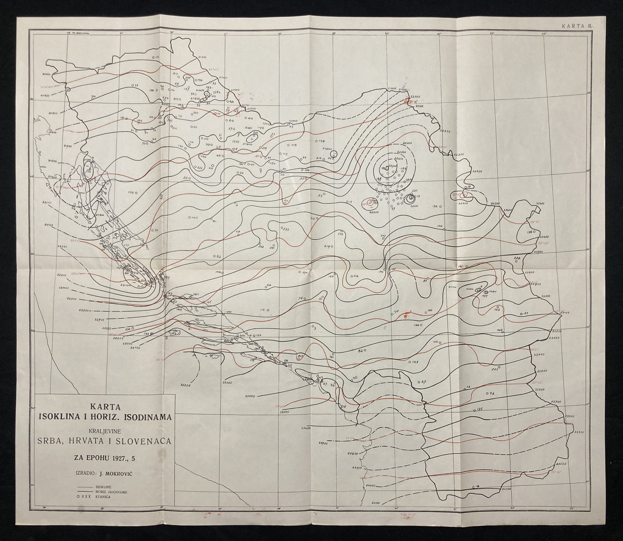
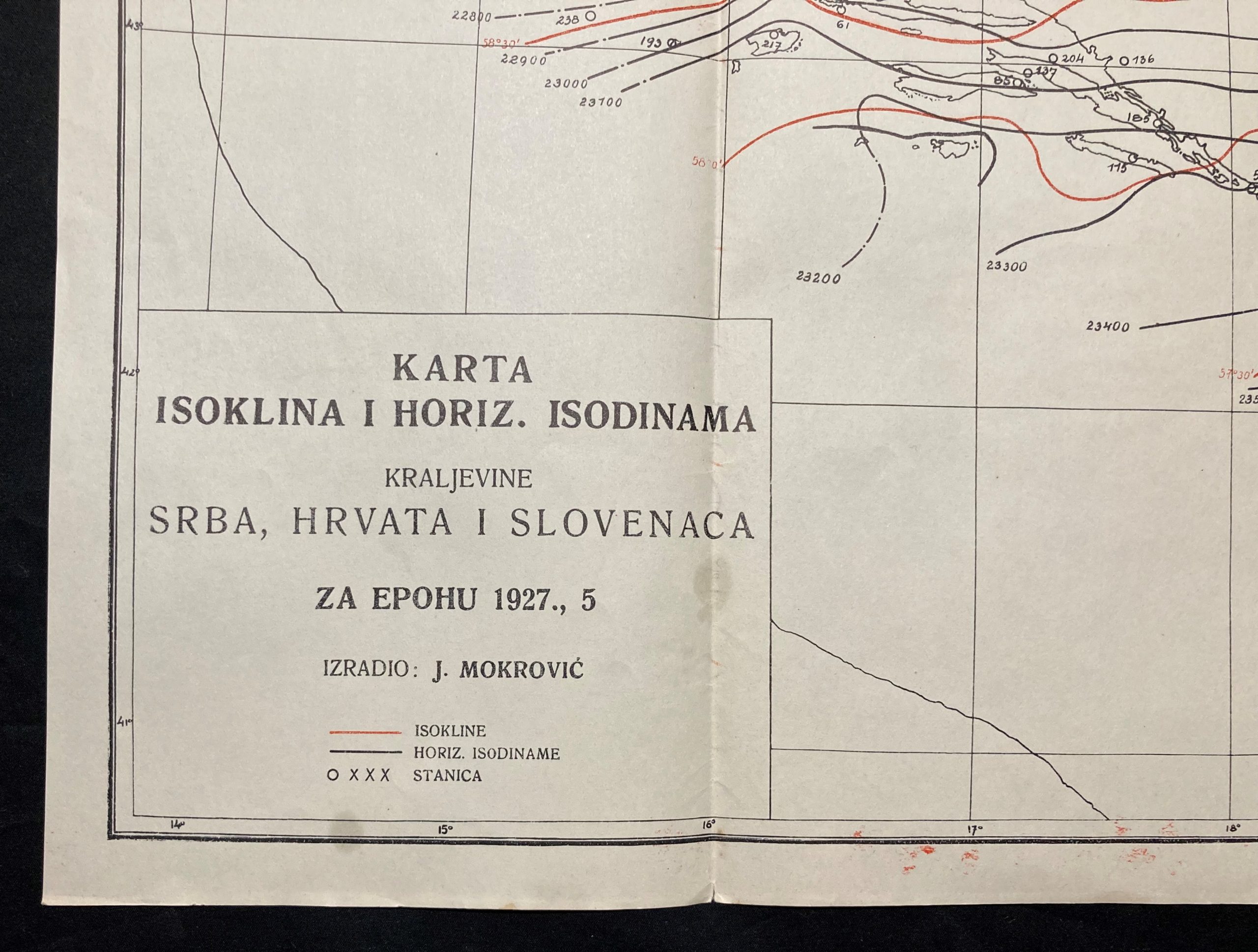
1927 Isogonic Chart of the Kingdom of Serbs, Croats, and Slovenes
***
This chart is the second known isogon chart of our area after Kugler’s chart from 1922. While the latter shows a tiny area between Đurđevac, Bubnjarc, and Bjelovar, this is the first complete SHS map. Isogons are imaginary lines that connect places on the earth’s surface with the same magnetic declination. Magnetic declination (lat. Declinatio) is the angle between the magnetic and geographic meridians. The curves connecting these places with the same magnetic declination are called isogones, while those with 0° are agones. Declinations can be positive (east) and negative (west). Regular seasonal changes are called regular, while extraordinary ones are called geomagnetic storms. Extremely rare, no copy is present in state institutions.
Cartographer
Josip Mokrović, Croatian geophysicist (Kraj Gornji, Zapršići June 12, 1898 – Zagreb, June 13, 1983). Graduated from the Faculty of Philosophy in Zagreb from the physics group of subjects (1934), where he got a PhD (1952). He worked at the Geophysical Institute of the Faculty of Science and Mathematics in Zagreb (1919–68) as a lecturer for geophysics students. He researched seismic activity, hodochrones and earthquake forecasting, underground rumblings, gravity, and atmospheric electricity. year In 1927, he produced the first geomagnetic charts of the then Kingdom of SHS. Since 1952, he worked as a scientific associate of JAZU.
***
Year: 1927
Place of publishing: Kingdom of SHS
Cartographer: Josip Mokrović
***
Size: 55 x 47 cm
Condition: Folded as issued, few stains on the cartouche, minor tears on the lower edge (up to 1mm), excellent condition overall.
***
For details of the item’s condition please refer to the images. If you have any questions, don’t hesitate to contact us!

