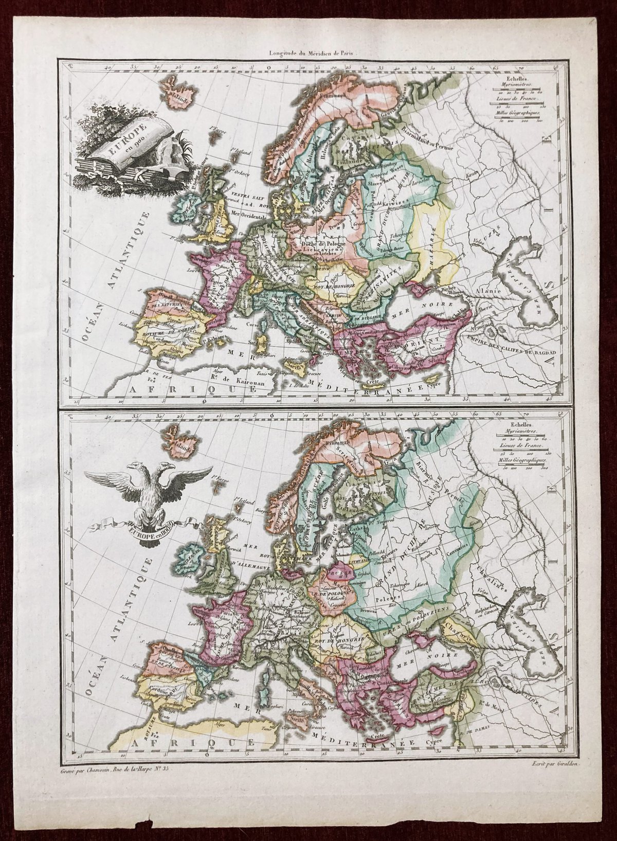
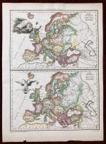
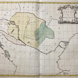
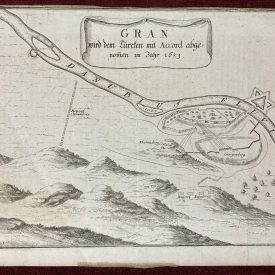
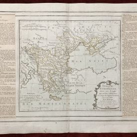
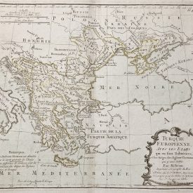
Original Antique Copperplate Europe en 900 / Europe en 1100
Artist: Pierre M. Lapie
***
Dimensions (approx): 325 x 245 mm, 12.8 x 9.6 inches
Year: 1810
***
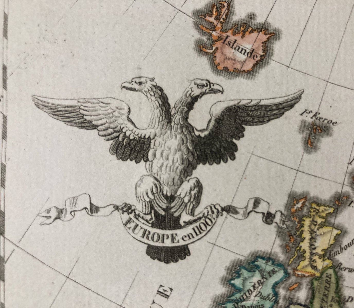
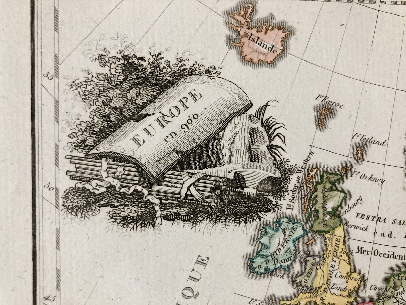
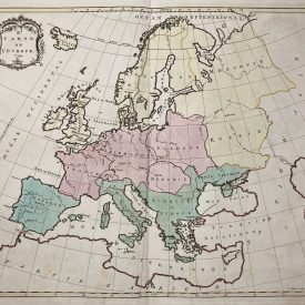
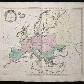
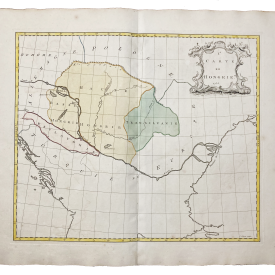
Antique copper engraved map of Europe in the years of 900 and 1100. From the famous “Atlas complet du precis de la geographie” by Francois Bussoin. Extraordinary rare geographical map, beautiful hand coloration with two cartouches, enriched with details.
Pierre M. Lapie (1779 / 1850) was a French Cartographer and Engraver.He was the father of Cartographer Alexandre Emile Lapie. Lapie was a Colonel in the French Army, where he worked in the Corps of Topographical Engineers. Lapie worked closely with his son and published works together and individually. The work of Lapie and his son is was influential on German Commercial Map Makers in the 19th Century. Works by Lapie are held in the collection of the Library of Congress. Lapie did many works of Cartography, and above all he was a specialist in the creation of Atlases, Geographical Maps, both Modern and Ancient, and even of War.
***
Condition: Few minor imperfections, in excellent condition.
***
For other details and condition see the scans. If you have any questions, feel free to contact us.
***
Note:
This is an original antique engraving. We don’t sell reproductions.
Item will be shipped in cardboard tube.

