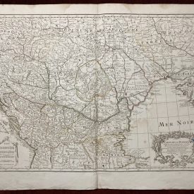
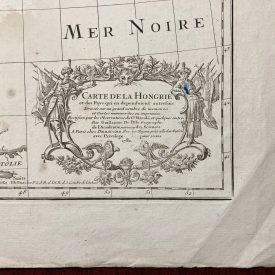
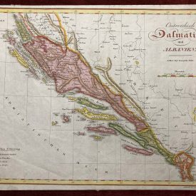
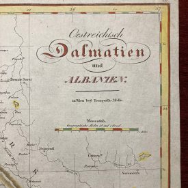
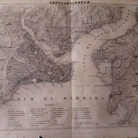
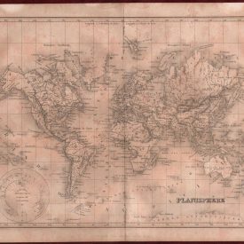
1756 Original Map La Rouge Moscow Copperplate Engraving Colored Atlas Noeuveau

Category:
Original/Reproduction

Listed By

Signed?

Print Type

Subject

Size

Artist

Date of Creation

Height (Inches)

Main Color

Width (Inches)

Framed/Unframed

Print Surface

You missed us - sold out already! If you’d like us to produce more stock then drop us a line and let us know.

Description

1756 Original Map La Rouge Moscow Copperplate Engraving Colored Atlas Noeuveau  

Original Geographic Map La Moscovie (Moscow) Original and borderline colored copper engraving map from the Atlas Nouveau. The map shows Russia with the regions of Cassan, Krim, the Cossack’s land, bordering the Black Sea, Arctic Sea, Livonia, Finland and Sweden. The cities of Petersburg, Moscow, Biela, Arhagelsk and Belgograd can be spotted.

***

Author: George Louis La Rouge Dimensions: 30 x 22 cm Published:  Paris, 1756. Condition: Minor signs of wear, in very good condition

***

For other details and condition see the scans

***

Note: This is an original map. We don’t sell reproductions.  Item will be shipped in cardboard tube.  


Shipping & Delivery