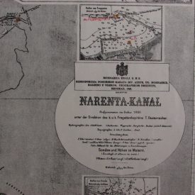
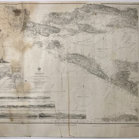
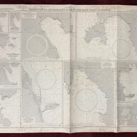
Nautical Chart of Tasman and Coral Seas – South Pacific Ocean, Australia, New Zealand, and Fiji
***
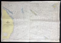
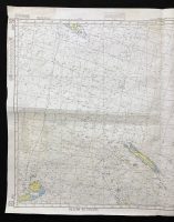
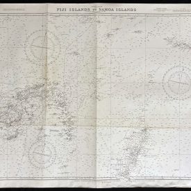
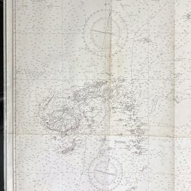
Nautical chart of Tasman and Coral Seas in the South Pacific Ocean, showing parts of Australia, New Zealand, and Fiji. The chart is produced under the Superintendence of the Hydrographer, Royal Australian Navy, from the information in the Hydrographic Office, Sydney 1980.
***
Dimensions: 104 x 72 cm; 41 x 28
Year: 1985
Publisher: Defense Mapping Agency Hydrographic/Topographic Center
Place Of Publication: Washington
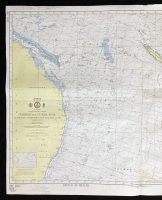
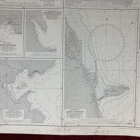
Condition: Lines of folding, dog ear in the lower right corner, lower left corner slightly crumpled, light staining in the middle, crepe tape on the verso. Very good condition overall.
***
The item will be shipped in a cardboard tube.
For other details of item condition, please see the photos. More photos are available on demand. If you have any questions, feel free to contact us.