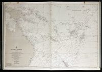
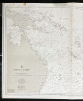
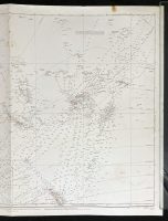
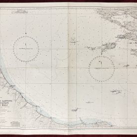
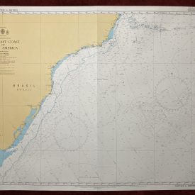
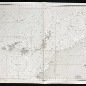
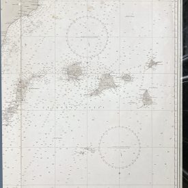
Nautical Chart of the South West Pacific Ocean – Philippine and Celebes Islands, New Guinea, and Australia to San Francisco and Easter Island
***
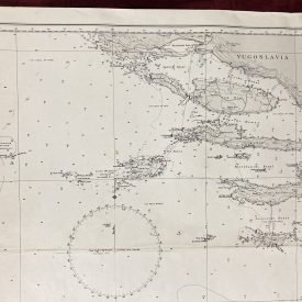
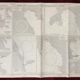
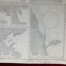
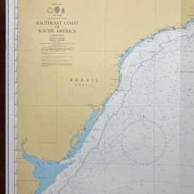
An interesting vintage nautical chart of the Philippine Islands and Celebes Islands in the South West Pacific Ocean, covering New Guinea and Australia to San Francisco and Easter Island.
Originally published in 1969 by the Crown. Printed in London by Admiralty and under the supervision of the British Royal Navy.
***
Dimensions: 104 x 71 cm; 40 x 27
Year: 1969
Author: F. J. Evans
Publisher: Admiralty
Place Of Publication: London
Condition: Line of folding, staining on the upper edge to the right and left, with smaller staining in the middle. The stains do not affect the print which is in very good condition overall.
***
The item will be shipped in a cardboard tube.
For other details of item condition, please see the photos. More photos are available on demand. If you have any questions, feel free to contact us.