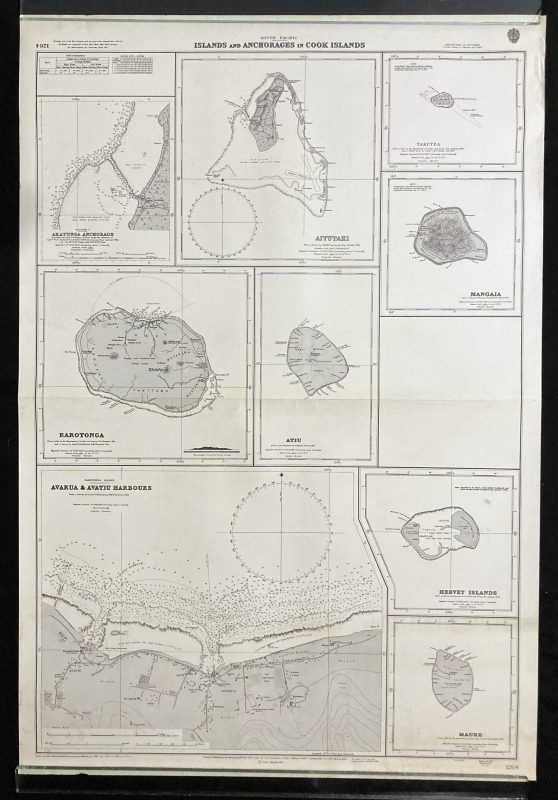
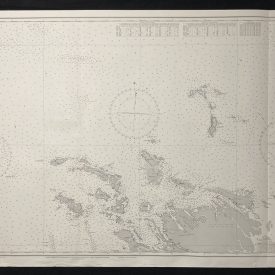
Nautical Chart of the Pacific Ocean – Islands and Anchorages in the Cook Islands
***
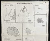
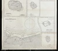
An interesting vintage nautical chart of the islands and anchorages in the Cook Islands in the South Pacific, featuring Aratunga Anchorage, Aitutaki, Mangaia, Rarotonga, Avarua, and Avatiu Harbours.
Originally published in 1963 by the Crown. Printed in London by Admiralty and under the supervision of the British Royal Navy.
***
Dimensions: 104 x 71 cm; 40 x 27
Year: 1963
Author: Fred. C. Learmonth
Publisher: Admiralty
Place Of Publication: London
Condition: Line of folding, crumpling in the upper-right corner, paper browning due to age, mild staining in the lower parts of the print. Very good condition overall.
***
The item will be shipped in a cardboard tube.
For other details of item condition, please see the photos. More photos are available on demand. If you have any questions, feel free to contact us.