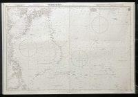
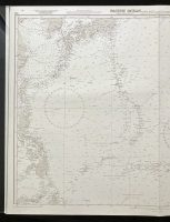
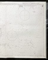
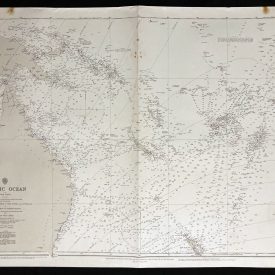
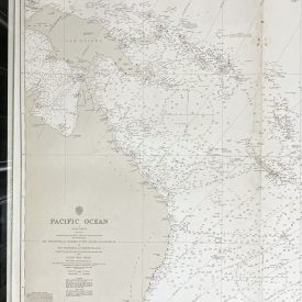
Nautical Chart of the North West Pacific Ocean – Taiwan and Philippine Islands to Marianas, Caroline, and Marshall Islands
***
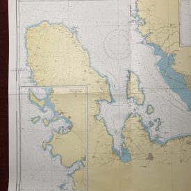
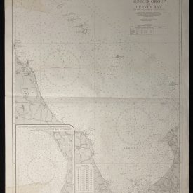
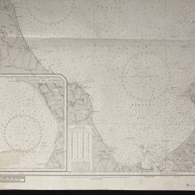
An interesting vintage nautical chart of the South West Pacific Ocean, from Taiwan and Philippine Islands to Marianas, Caroline, and Marshall Islands. The map also features parts of China and Korea.
Originally published in 1976 by the Crown. Printed in London by Admiralty and under the supervision of the British Royal Navy.
***
Dimensions: 104 x 71 cm; 40 x 27
Year: 1976
Author: F. J. Evans
Publisher: Admiralty
Place Of Publication: London
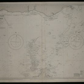
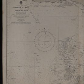
Condition: Line of folding, some staining on the verso, crepe tape near the left edge, and smaller inscription with marker, none of which is visible on the recto. Very good condition overall.
***
The item will be shipped in a cardboard tube.
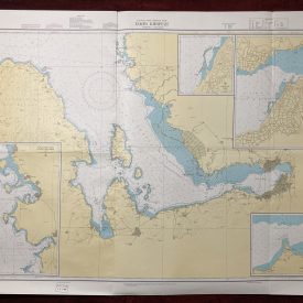
For other details of item condition, please see the photos. More photos are available on demand. If you have any questions, feel free to contact us.

")
")