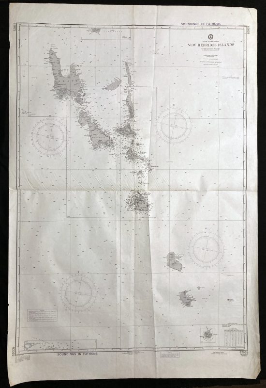
Nautical Chart of the South Pacific Ocean – New Hebrides Islands
***
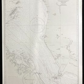
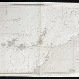
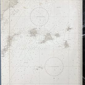
Nautical chart of the South Pacific Ocean, showing the New Hebrides Islands, with Santo, Malekoula, Ambrym, and Pentecote. Much of this data may no longer be current. The second edition was published on May 15th, 1976 by the Defense Mapping Agency Hydrographic Center in Washington.
***
Dimensions: 139 x 70 cm; 55 x 28
Year: 1976
Publisher: Defense Mapping Agency Hydrographic Center
Place Of Publication: Washington
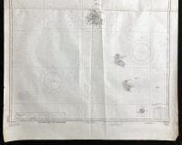
Condition: Lines of folding, some fraying along the edges, paper slightly warped. Very good condition overall.
***
The item will be shipped in a cardboard tube.
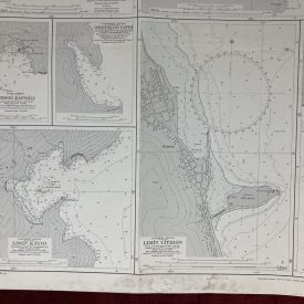
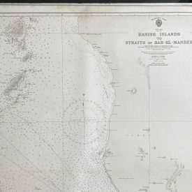
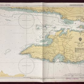
For other details of item condition, please see the photos. More photos are available on demand. If you have any questions, feel free to contact us.