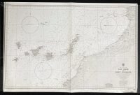
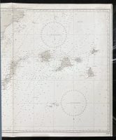
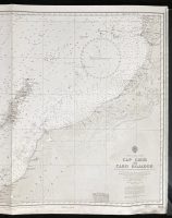
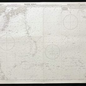
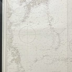
Nautical Chart of West Coast of Africa – Cap Ghir to Cabo Bojador
***
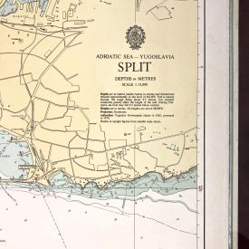
An interesting vintage nautical chart of the west coast of Africa, from Cap Ghir to Cabo Bojador, featuring the Canary Islands. The map also shows parts of Morocco and the Spanish Sahara.
Originally published in 1965 by the Crown. Printed in London by Admiralty and under the supervision of the British Royal Navy.
***
Dimensions: 104 x 71 cm; 40 x 27
Year: 1965
Author: K. St. B. Collins
Publisher: Admiralty
Place Of Publication: London
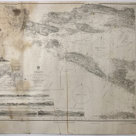
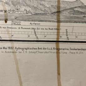
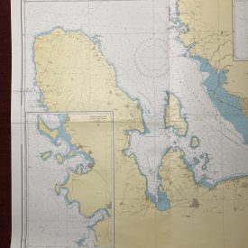
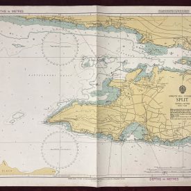
Condition: Line of folding, slight crumpling in the lower-right corner, smaller stains near the center, wooden pencil inscribing, slight paper browning due to age. Very good condition overall.
***
The item will be shipped in a cardboard tube.
For other details of item condition, please see the photos. More photos are available on demand. If you have any questions, feel free to contact us.