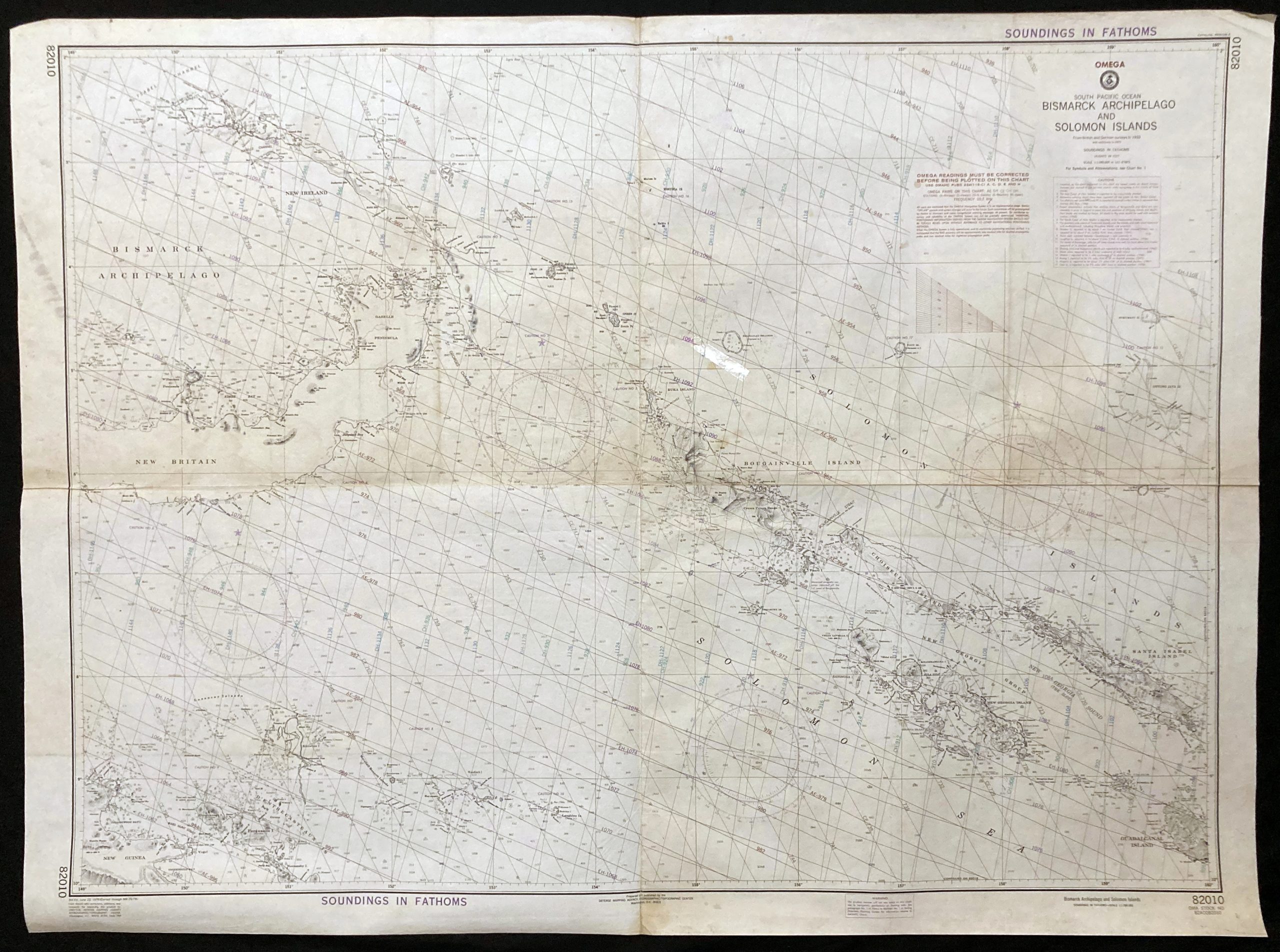
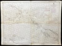
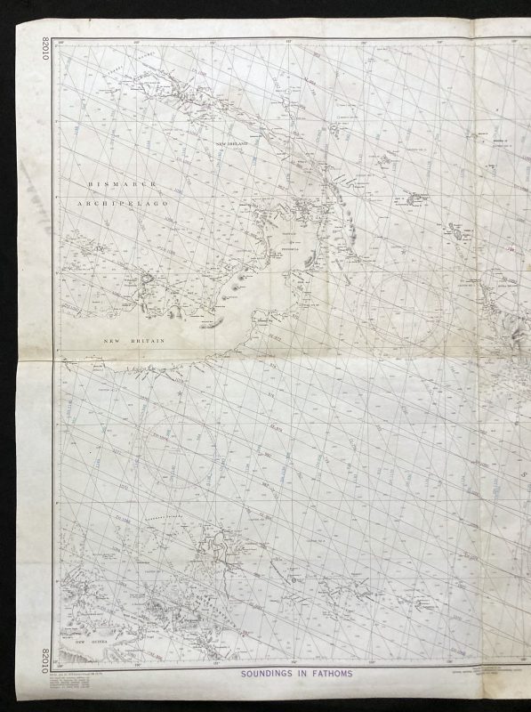
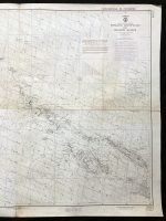
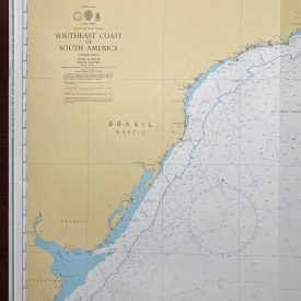
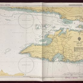
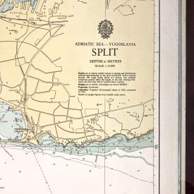
Nautical Chart of the South Pacific Ocean – Bismarck Archipelago Solomon Islands
***
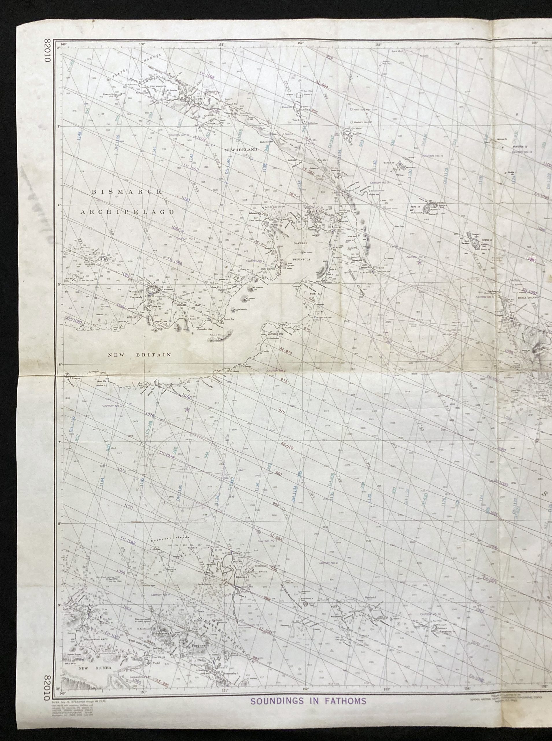
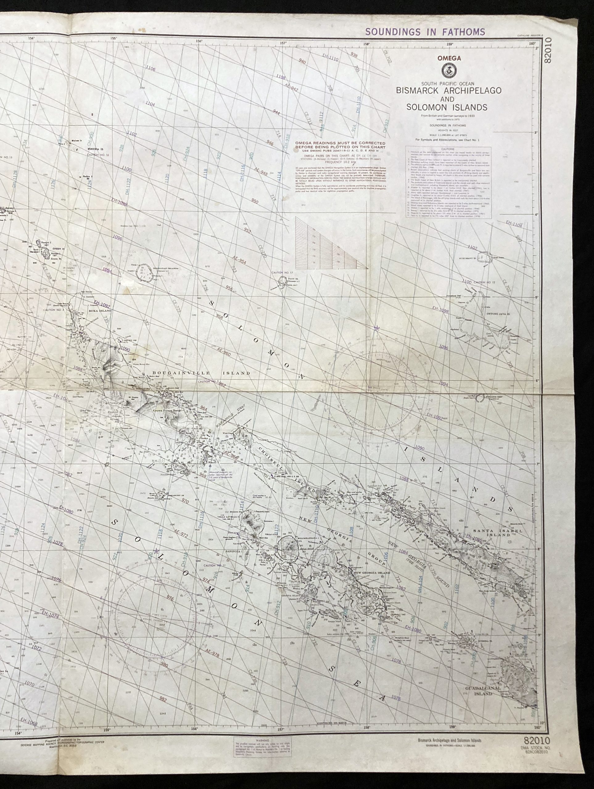
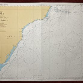
Nautical chart of the Bismarck Archipelago and the Solomon Islands in the South Pacific Ocean, showing a part of New Britain Island. The chart is compiled from the British and German surveys to 1933 with additions to 1975.
***
Dimensions: 121 x 90 cm; 48 x 35
Year: 1979
Publisher: Defense Mapping Agency Hydrographic/Topographic Center
Place Of Publication: Washington
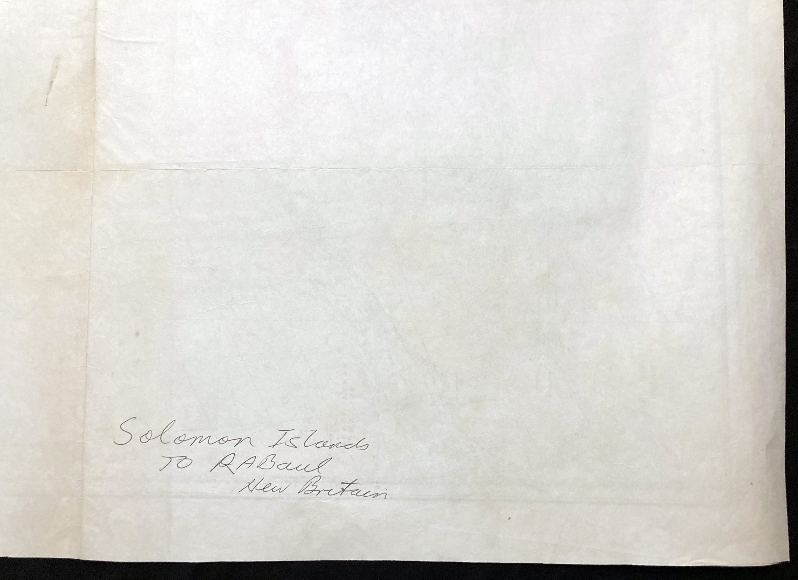
Condition: Lines of folding, staining, and paper browning due to age, dog ear in the upper right corner. Very good condition overall.
***
The item will be shipped in a cardboard tube.
For other details of item condition, please see the photos. More photos are available on demand. If you have any questions, feel free to contact us.

