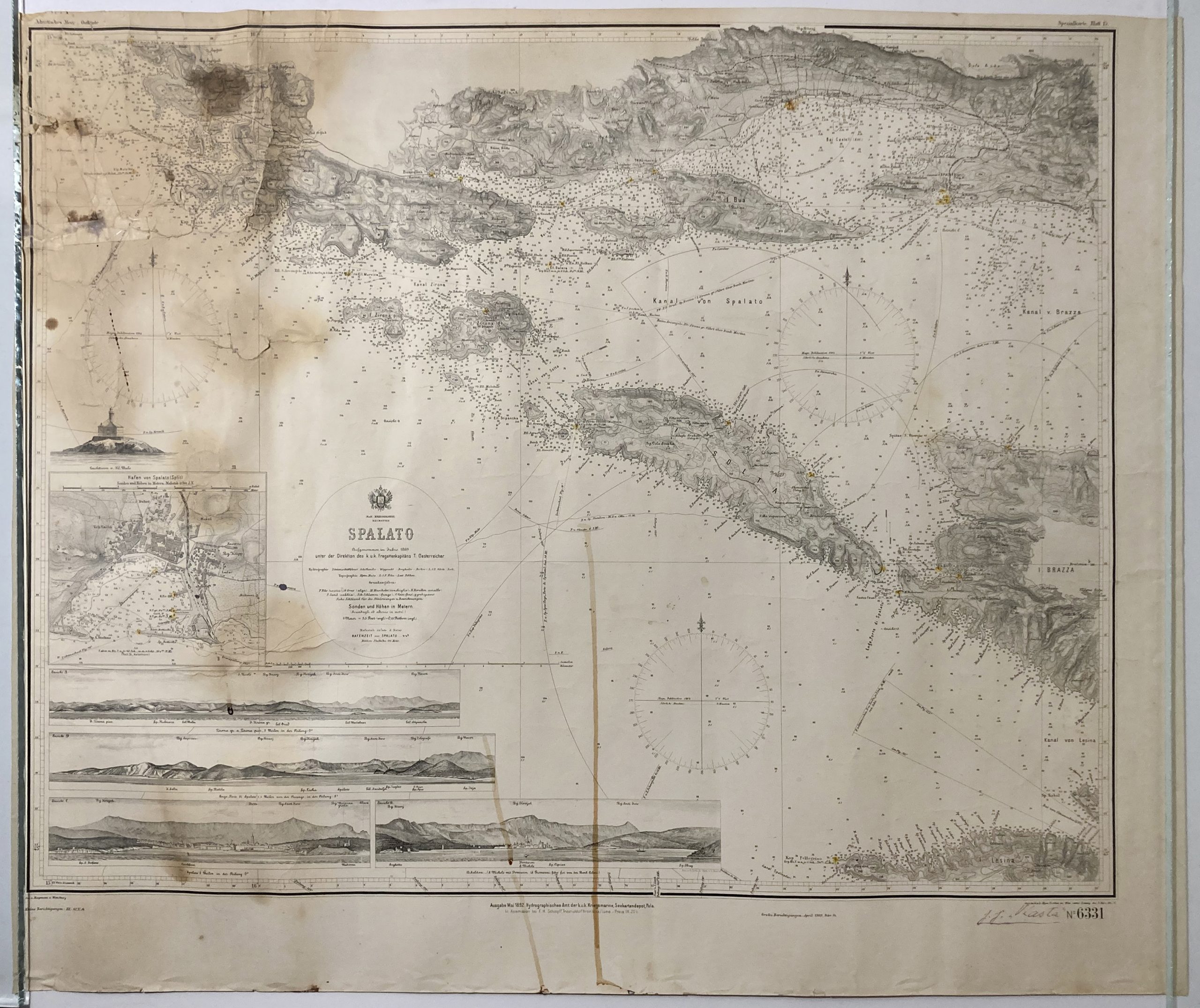
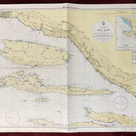
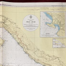
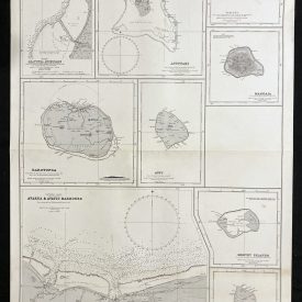
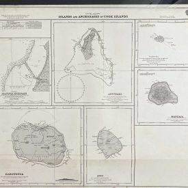
Nautical Chart of Split (Spalato), Croatia
***
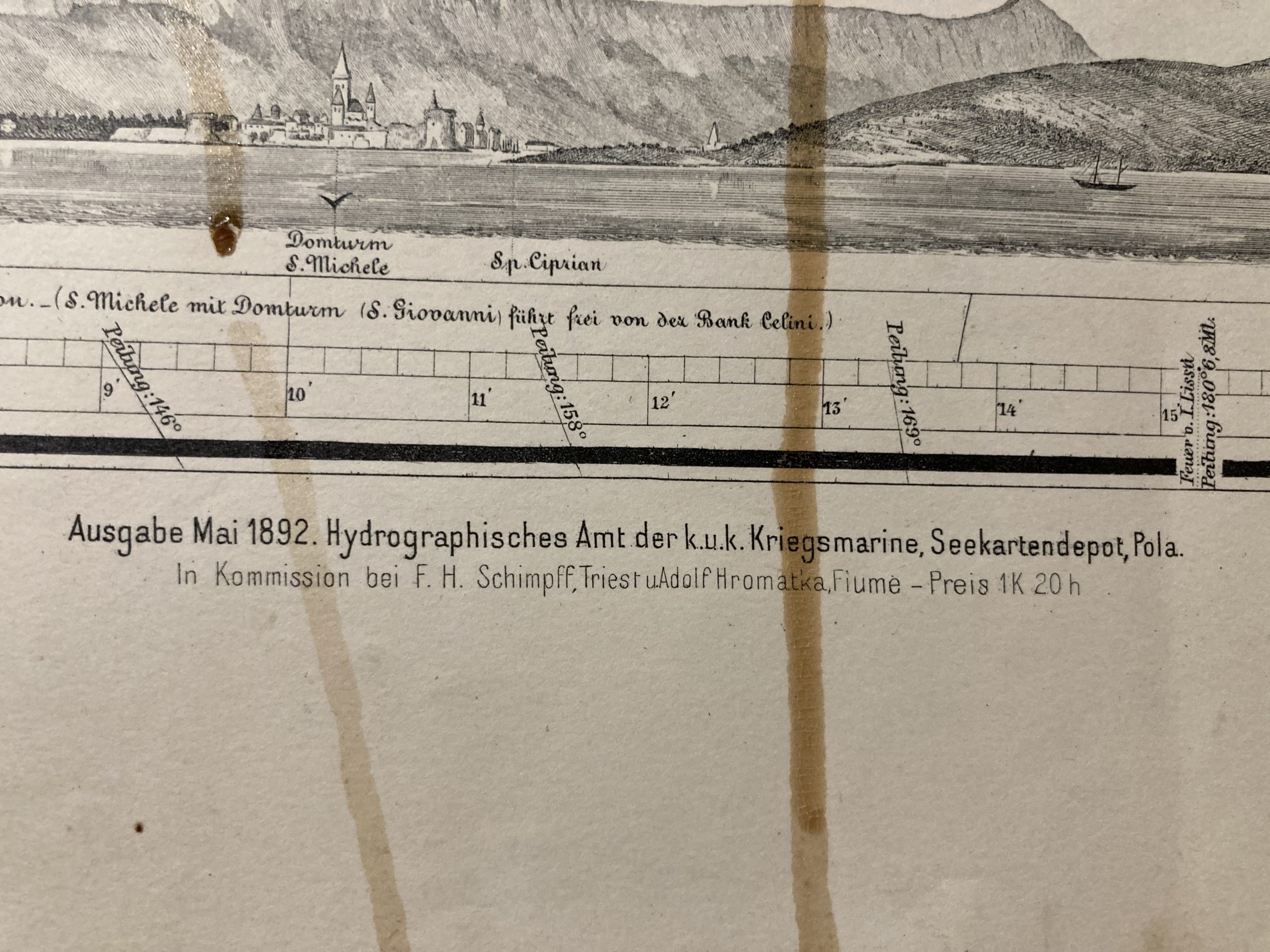
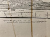
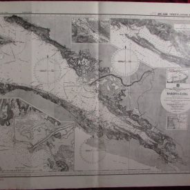
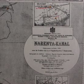
A rare 1892 edition of the nautical chart of Split (Spalato) in Dalmatia, Croatia, showing also Hvar, Solta, and a part of Brac. The map was recorded in the year 1869 under the direction of K.u.K. Kriegsmarine Dalmatien Frigate captains T. Oesterreicher and published by its Hydrographic Office in Pula.
***
Dimensions: 75 x 64 cm; 30 x 25
Year: 1892
Publisher: K.u.K. Kriegsmarine Dalmatien
Place Of Publication: Pula
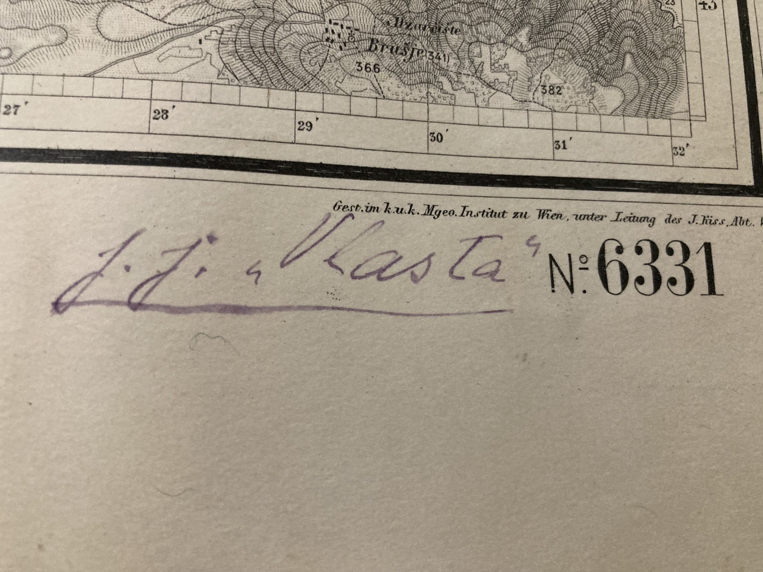
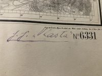
Condition: Paper browning due to age, slight fraying along the lower edge, staining predominantly on the left, upper left corner torn and restored, inscribed in the lower right corner.
***
The item will be shipped in a cardboard tube.
For other details of item condition, please see the photos. More photos are available on demand. If you have any questions, feel free to contact us.

