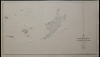
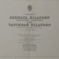
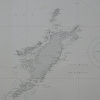
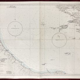
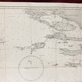
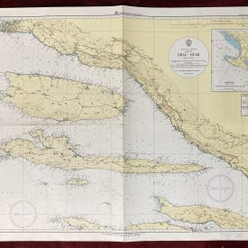
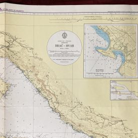
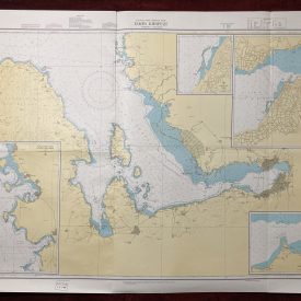
Sermata Eilanden Eastern Portion and Tanimbar Eilanden
***
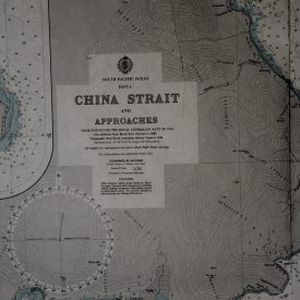
The nautical chart of the eastern portion of Sermata Eilanden and Tanimbar Eilanden. Originally made in 1944 under the authority of the Crown. Reprinted in 1976 under the superintendence of Vice-Admiral Sir John Edgell, Hydrographer of the Navy.
***
Dimensions: 123 x 71 cm; 48 x 28 inches
Year: 1976
Publisher: Admiralty
Place Of Publication: London
Author: Vice-Admiral Sir John Edgell
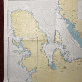
Condition: Folded as issued, dog ear in the upper right corner, minor tear starting at the line of folding (3mm), very good overall.
***
The item will be shipped in a cardboard tube.
For other details of item condition, please see the photos. More photos are available on demand. If you have any questions, feel free to contact us.