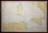
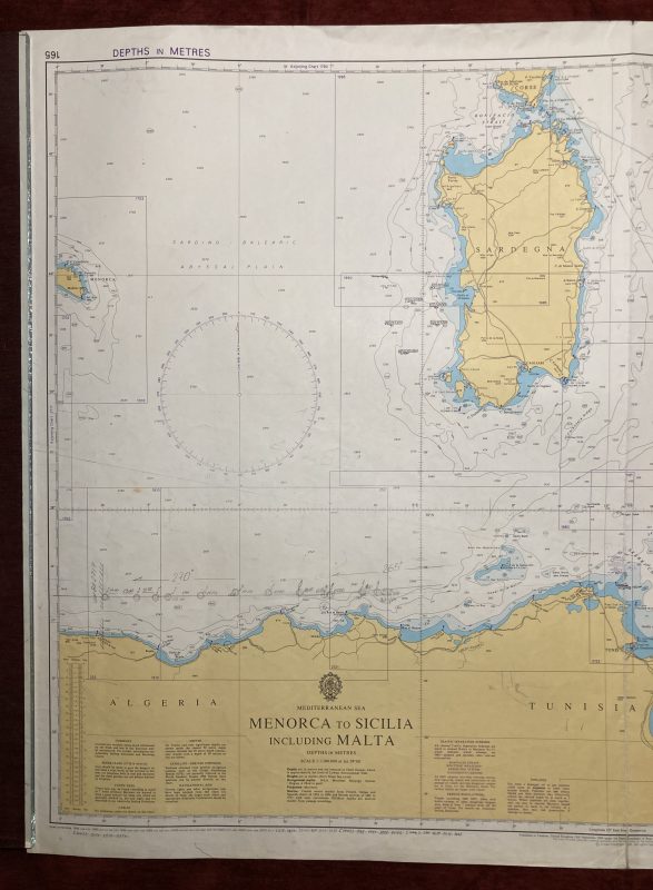
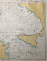
Nautical Chart of Sardinia, Sicily, and Malta
in the Mediterranean Sea
***
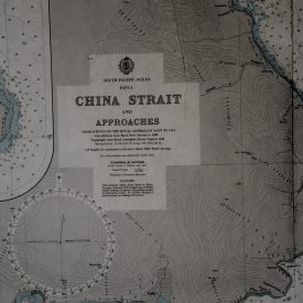
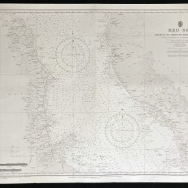
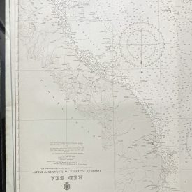
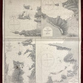
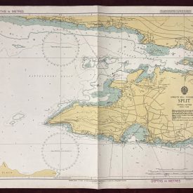
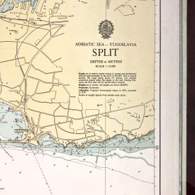
Nautical chart of Sardinia, Sicily, and Malta in the Mediterranean Sea with coasts of Tunisia and Algeria. Initially published in Taunton in 1969 by the Crown under the superintendence of Rear Admiral G. S. Ritchie.
***
Dimensions: 104 x 71 cm
Year: 2003
Publisher: Admiralty
Country of manufacture: United Kingdom
Place of publication: Taunton
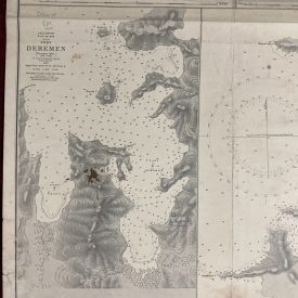
Condition: Folded as issued, taped across the folding line on the back, upper left corner crumpled, marker inscription on the back, minor imperfections.
***
The item will be shipped in a cardboard tube.
For other details of the item’s condition, please see the photos. More photos are available on demand. If you have any questions, feel free to contact us.