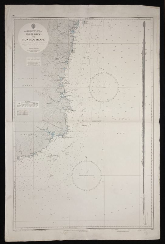
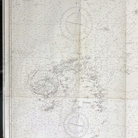
Nautical Chart of Point Hicks Montagu Island
***
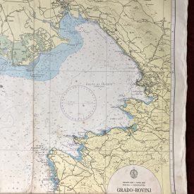
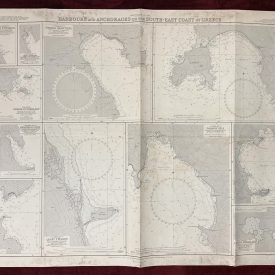
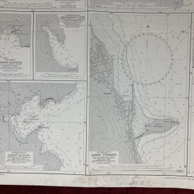
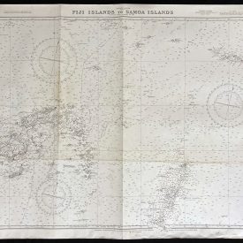
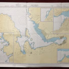
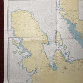
Nautical chart of the Point Hicks to Montagu Island in Victoria and New South Wales on the Australian East coast with the Tasman Sea. Originally published in 1963 by the Crown under the superintendence of admiral E. G. Irving. It was printed by the Royal Australian Service Corps in 1977. The hydrographic chart shows relief in contours, spot heights, soundings, and isolines.
***
Publisher
The Australian Hydrographic Service (formerly known as the Royal Australian Navy Hydrographic Service) is the Australian Commonwealth Government agency responsible for providing hydrographic services that meet Australia’s obligations under the SOLAS convention and the national interest; enabling safe navigation, maritime trade, and supporting the protection of the marine environment. The agency, headquartered at the Australian Hydrographic Office in Wollongong, New South Wales, is an element of the Royal Australian Navy (RAN) and serves both military and civilian functions.
***
Dimensions: 110 x 72 cm; 43 x 28 in
Year: 1977
Publisher: Hydrographic Service R.A.N.
Country of manufacture: Australia
Place of publication: Wollongong
Author: E. G. Irving
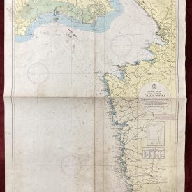
Condition: Folded as issued, slight fraying predominantly on the right edge with tears up to 2cm, light staining on the lower and left edge, hand corrections with wooden pencil.
***
The item will be shipped in a cardboard tube.
For other details of item condition, please see the photos. More photos are available on demand. If you have any questions, feel free to contact us.