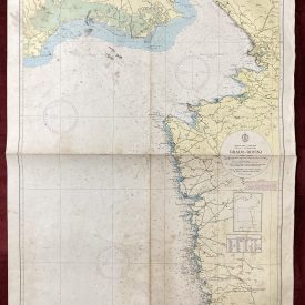
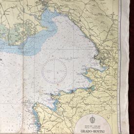
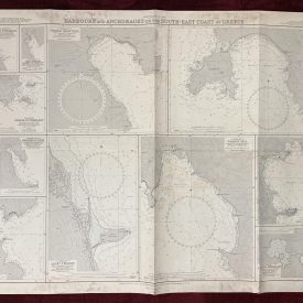
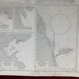
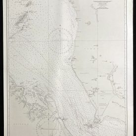
Nautical Chart of the Mediterranean Sea
Northern Portion of Sardinia
***
Nautical chart of the northern portion of Sardinia in the Mediterranean Sea, showing a part of Corsica with the Bonifacio Strait and gulfs of Asinara and Orsei. Initially published in London in 1874 by the Crown under the superintendence of Rear Admiral G. H. Richards.
***
Dimensions: 104 x 71 cm
Year: 1989
Publisher: Admiralty
Country of manufacture: United Kingdom
Place of publication: London
Condition: Folded as issued, wooden pencil markers, minor signs of wear and imperfections.
***
The item will be shipped in a cardboard tube.
For other details of the item’s condition, please see the photos. More photos are available on demand. If you have any questions, feel free to contact us.