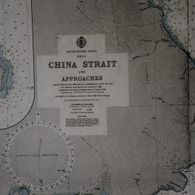
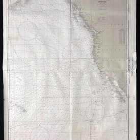
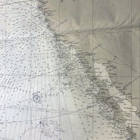
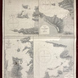
Nautical Chart of the Indian Ocean
Port Elizabeth to Mauritius
***
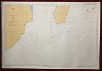
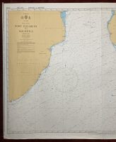
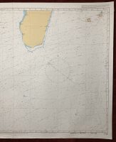
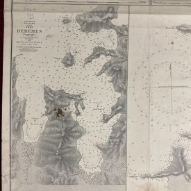
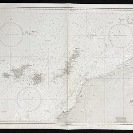
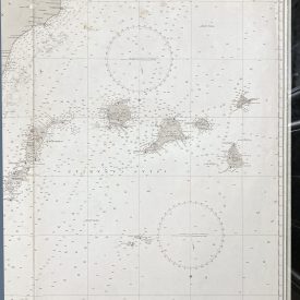
Nautical chart of the Indian Ocean from Port Elizabeth to Mauritius, showing part of the Republic of South Africa and Mozambique with part of Madagascar. Initially published in Taunton in 1981 by the Crown under the superintendence of Rear Admiral D. W. Haslam.
***
Dimensions: 104 x 71 cm
Year: 1992
Publisher: Admiralty
Country of manufacture: United Kingdom
Place of publication: Taunton
Condition: Folded as issued, lower edge slightly crumpled, minor imperfections, Scotch tape on the back.
***
The item will be shipped in a cardboard tube.
For other details of the item’s condition, please see the photos. More photos are available on demand. If you have any questions, feel free to contact us.