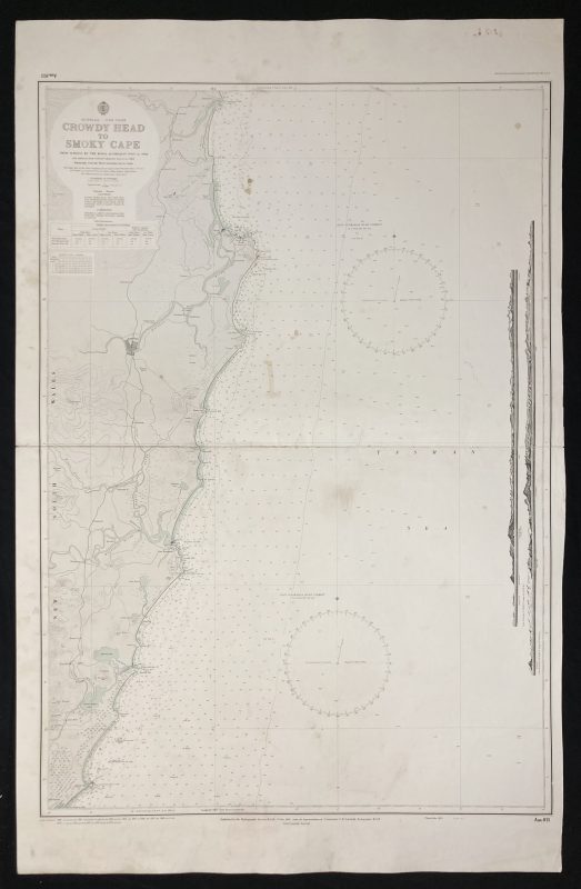
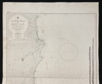
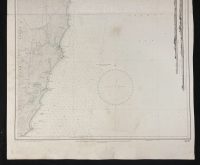
Nautical Chart of Crowdy Head to Smoky Cape – Australia East Coast
***
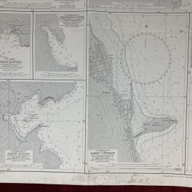
Nautical chart of the East coast of Australia covering Crowdy Head to Smoky Cape. The chart shows the New South Wales coast with Trial Bay, Kempsey, and Port Macquarie Originally published in 1959 by the Crown under the superintendence of admiral J. F. Parry.
***
Publisher
The Australian Hydrographic Service (formerly known as the Royal Australian Navy Hydrographic Service) is the Australian Commonwealth Government agency responsible for providing hydrographic services that meet Australia’s obligations under the SOLAS convention and the national interest; enabling safe navigation, maritime trade, and supporting the protection of the marine environment. The agency, headquartered at the Australian Hydrographic Office in Wollongong, New South Wales, is an element of the Royal Australian Navy (RAN) and serves both military and civilian functions.
***
Dimensions: 110 x 70 cm; 43 x 27 1/2 in
Year: 1978
Publisher: Hydrographic Service R.A.N.
Country of manufacture: Australia
Place of publication: Wollongong
Author: Commander S. R. Schofield
Condition: Folded as issued, light staining with minor imperfections along the line of folding, marker inscribing on the verso not affecting the print.
***
The item will be shipped in a cardboard tube.
For other details of item condition, please see the photos. More photos are available on demand. If you have any questions, feel free to contact us.