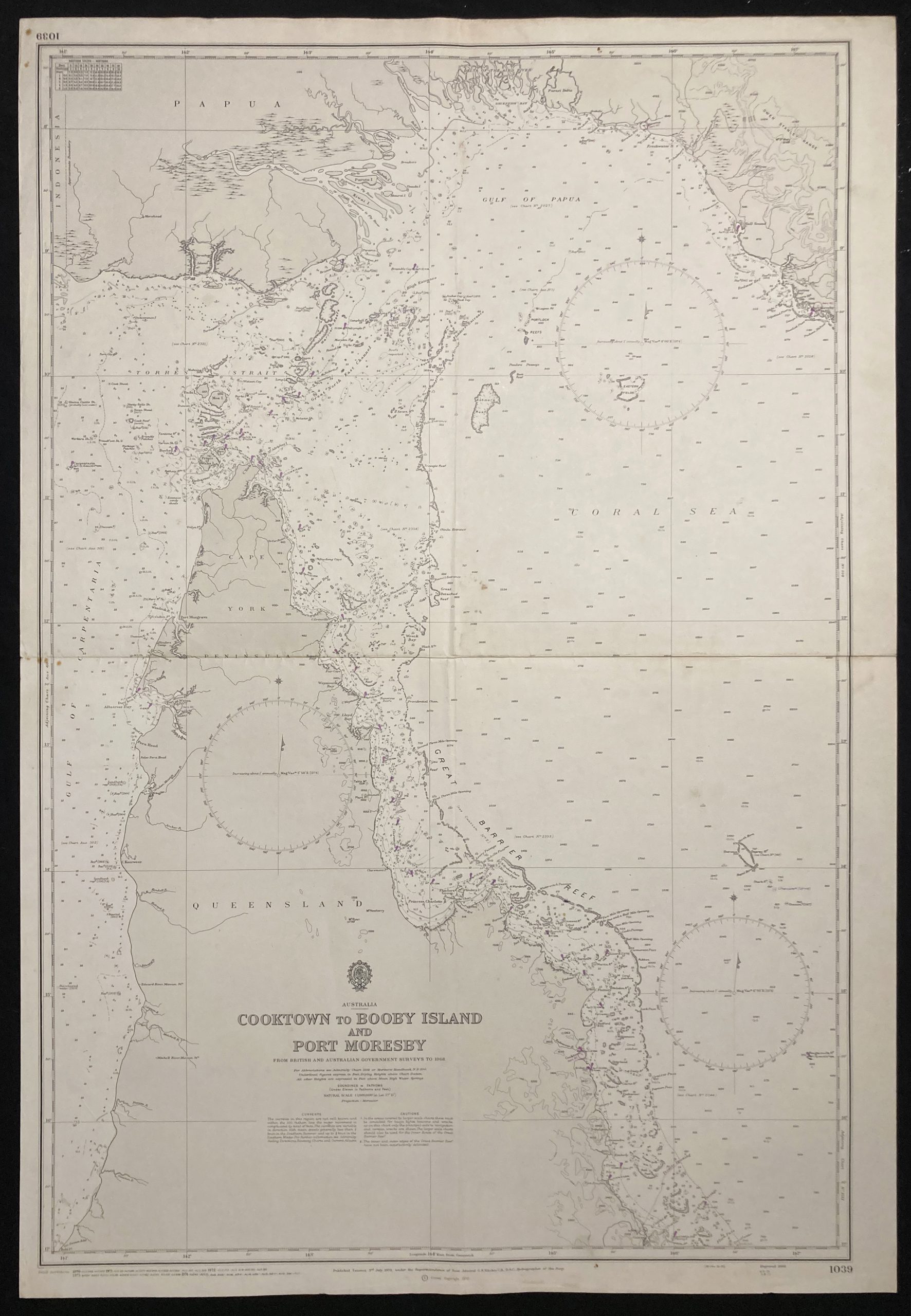
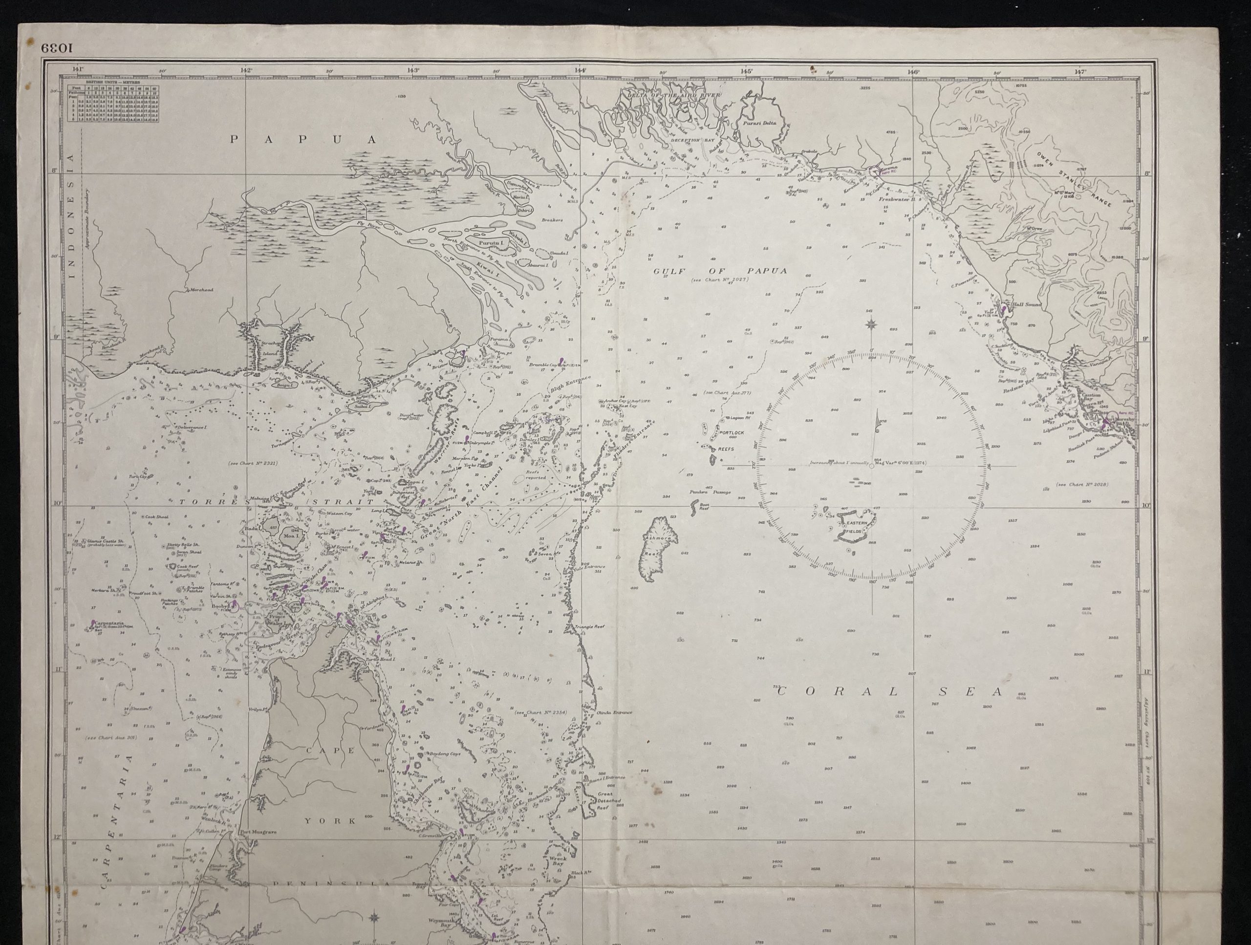
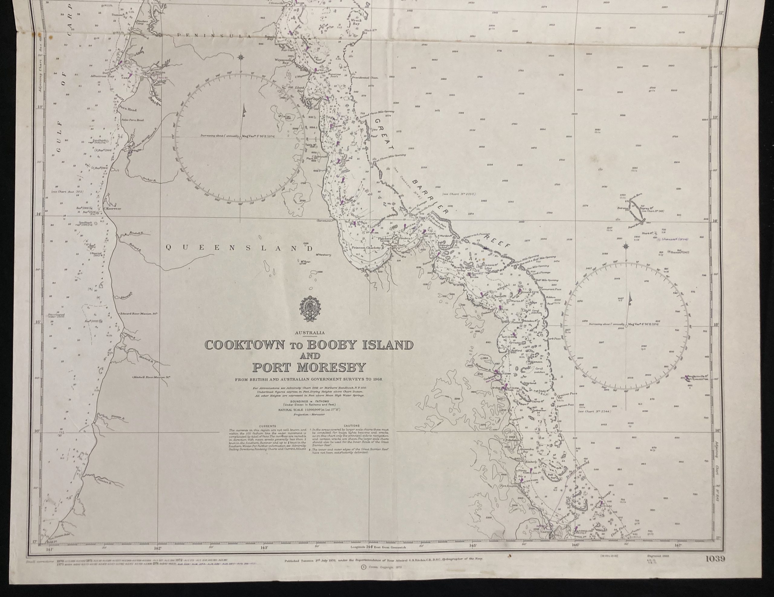
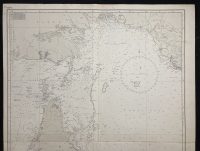
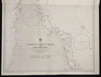
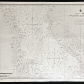
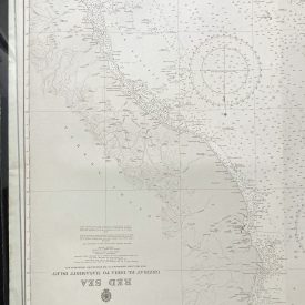
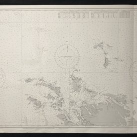
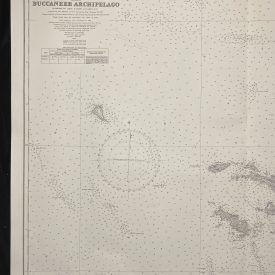
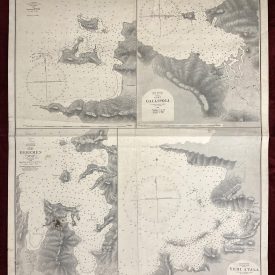
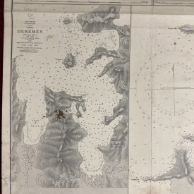
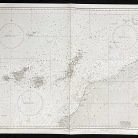
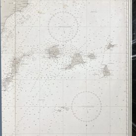
Nautical Chart of Cooktown to Booby Islands and Port Moresby in Australia
***
Nautical chart of the East coast of Australia covering Crowdy Head to Smoky Cape. The chart shows a portion of Queensland and Papua New Guinea, including Torres Strait and Coral Sea with depths, nature of the sea floor, hazards, aids to navigation, tides, and currents, with some topographic detail of the adjoining coasts.
Originally published in 1970 by the Crown under the superintendence of admiral G. S. Ritchie.
***
Publisher
The Admiralty was the British government department responsible for the command of the Royal Navy until 1964. The Admiralty was replaced by the Admiralty Board in 1964, as part of the reforms that created the Ministry of Defence and its Navy Department (later Navy Command).
Hydrographer
Rear-Admiral George Stephen Ritchie (30 October 1914 – 8 May 2012) was a British admiral noted for his cartographic and hydrographic work. He was educated at the Royal Naval College, Dartmouth from the age of 13, and went to sea at the age of 17. In 1936 he joined the Surveying Service, being appointed to the old coal-burning surveying ship, HMS Herald, operating in the South China Sea.
During the Second World War the then Lieutenant Ritchie was awarded the Distinguished Service Cross (DSC) for bravery whilst surveying beaches in North Africa behind the enemy lines.
In 1966 he was promoted to the rank of rear admiral and appointed to the post of Hydrographer of the Navy which he held for five years and received a Companion of the Bath. In 1967 he published The Admiralty Chart, a history of British Naval Hydrography in the Nineteenth Century.
***
Dimensions: 103 x 71 cm; 40 1/2 x 28 in
Year: 1972
Publisher: Admiralty
Place of publication: Taunton
Author: Admiral G. S. Ritchie
Condition: Folded as issued,
***
The item will be shipped in a cardboard tube.
For other details of item condition, please see the photos. More photos are available on demand. If you have any questions, feel free to contact us.

