Nautical Chart
Cavtat to Durres and Vieste to Brindisi
***
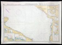
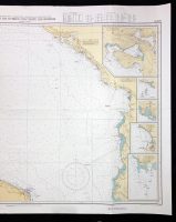
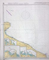
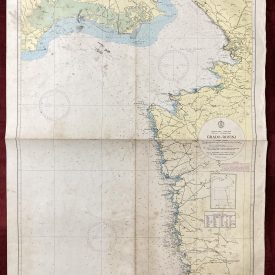
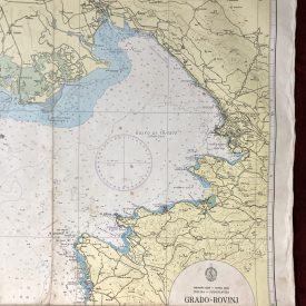
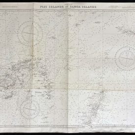
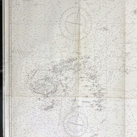
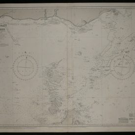
Nautical chart of Cavtat to Durres and Vieste to Brindisi, showing also the bays of Kotor, Petrovac, Ulcinj and Porto di Bari on the coasts of Italy, Albany, and Greece. Published by the Federal Maritime and Hydrographic Agency of Germany, in Hamburg, 1996.
***
Dimensions: 126 x 89 cm
Year: 1996
Publisher: Federal Maritime and Hydrographic Agency of Germany
Country of manufacture: Germany
Place of publication: Hamburg
Condition: Folded as issued, minor wrinkling and staining on the upper left edge, inscribed with wooden pencil and with marker on the back.
***
The item will be shipped in a cardboard tube.
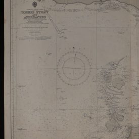
For other details of the item’s condition, please see the photos. More photos are available on demand. If you have any questions, feel free to contact us.