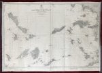
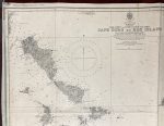
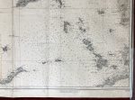
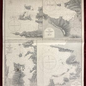
Nautical Chart Cape Doro to Kos Island
***
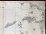
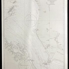
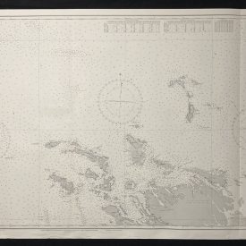
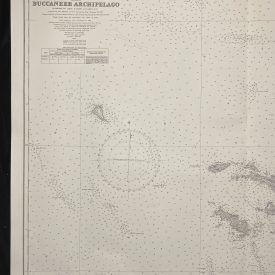
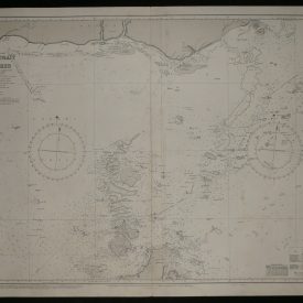
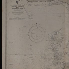
Nautical chart of the coasts of Italy and Croatia in the Adriatic Sea. Published by the UK Hydrographic Office under the superintendence of Vice Admiral J. A. Edgell.
Reproduced by the US Hydrographic Office from British Admiralty Chart with the permission of the Controller and Hydrographer of the Royal Navy.
***
Dimensions: 97 x 68 cm
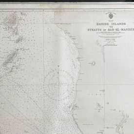
Year: 1950
Publisher: UK Hydrographic Office
Country of manufacture: United Kingdom
Place of publication: Taunton
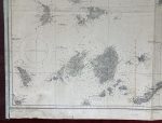
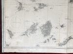
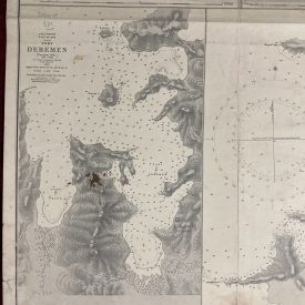
Condition: Signs of folding, margins cut, tears on the lower margin restored with paper repair tape, stains in the upper right quadrant, vertical stain near the fold.
For other details of the item’s condition, please see the photos. More photos are available on demand. If you have any questions, feel free to contact us.
***
The item will be shipped in a cardboard tube.