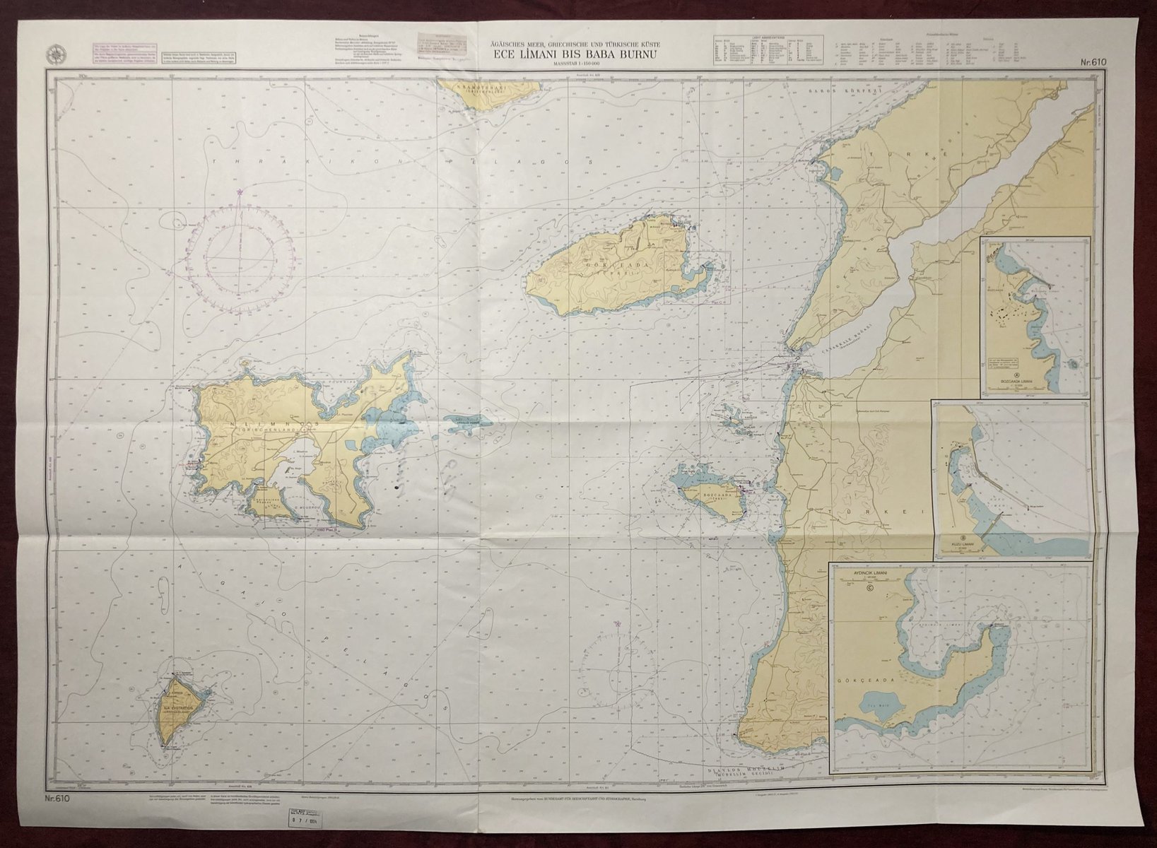
Nautical Chart of the Aegean Sea
Ece Limani to Baba Burnu
***
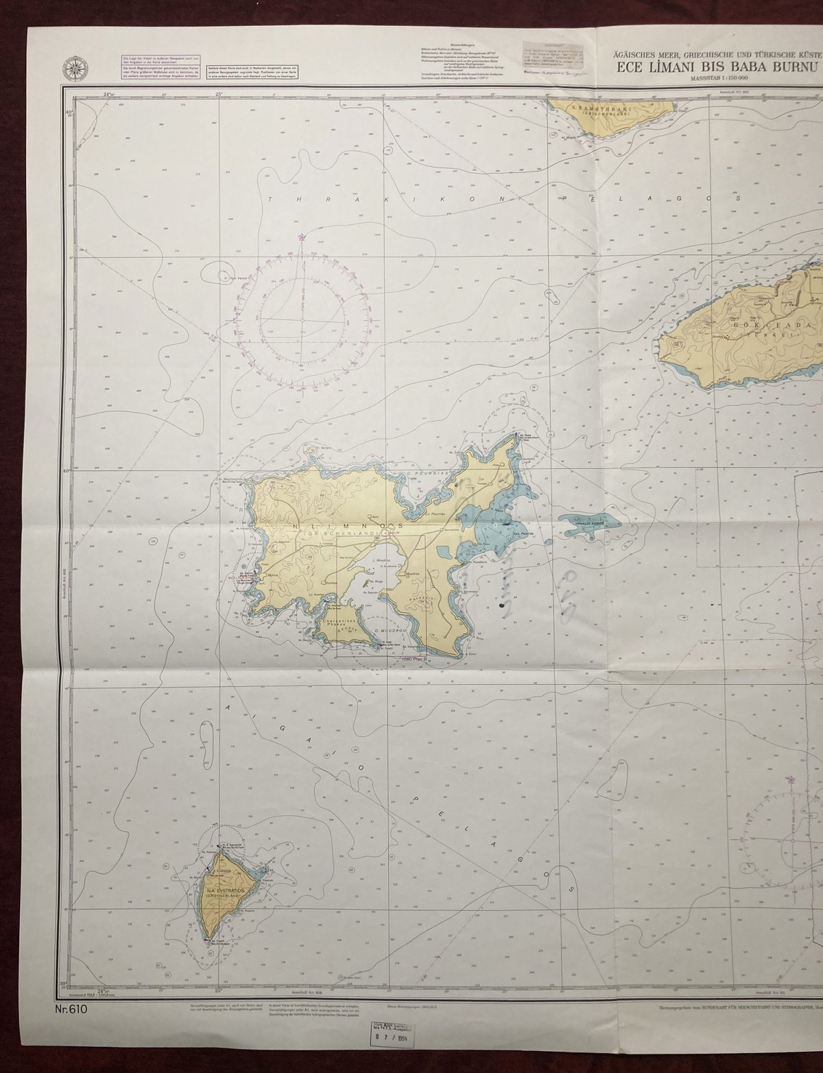
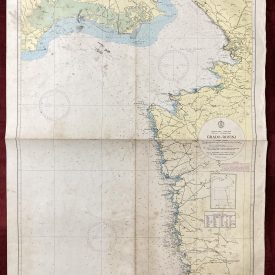
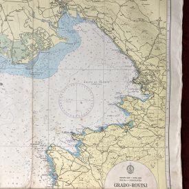
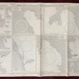
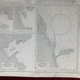
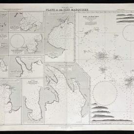
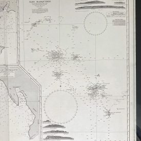
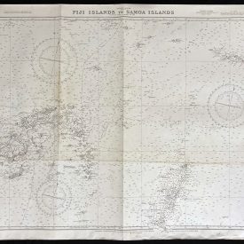
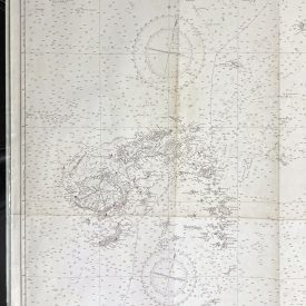
Nautical chart of the city of Aegean Sea with the Turkish coast from Ece Limani to Baba Burnu. The chart also shows the islands of Limnos, Kalekoy, and a part of Samothrace. Published by the Federal Maritime and Hydrographic Agency of Germany in Hamburg.
***
Dimensions: 120 x 87 cm
Year: 1994
Publisher: Federal Maritime and Hydrographic Agency of Germany
Country of manufacture: Germany
Place of publication: Hamburg
Condition: Folded as issued, marker inscription on the back, minor imperfections.
***
The item will be shipped in a cardboard tube.
For other details of the item’s condition, please see the photos. More photos are available on demand. If you have any questions, feel free to contact us.

