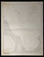
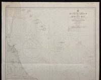
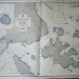
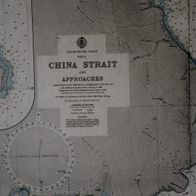
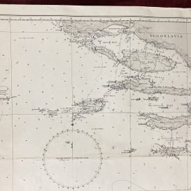
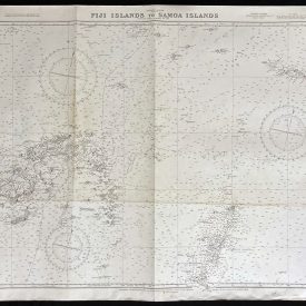
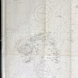
Nautical Chart of Australian East Coast – Bunker Group to Hervey Bay
***
Nautical chart of the East Coast of Australia, covering all from Bunker Group to Hervey Bay in Queensland.
Originally published in 1963 by the Crown under the superintendence of Captain A. H. Cooper, printed by Royal Australian Survey Corps in 1974.
***
Dimensions: 86 x 69 cm; 34 x 27 in
Year: 1974
Publisher: Admiralty
Country of manufacture: Australia
Author: Captain A. H. Cooper
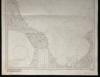
Condition: Folded as issued, paper staining in the upper and lower left quadrant, smaller marks made with pen, name inscribed on the lower and upper edge.
***
The item will be shipped in a cardboard tube.
For other details of item condition, please see the photos. More photos are available on demand. If you have any questions, feel free to contact us.