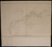
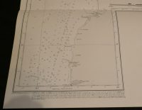
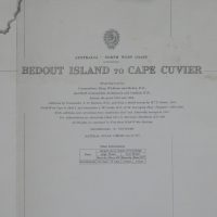
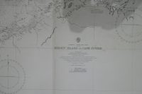
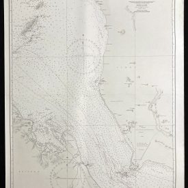
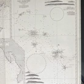
Nautical Chart of Bedout Island to Cape Cuvier – North-West Australia
***
The nautical chart of the Bedout Island to Cape Cuvier on the North-West coast of Australia. Originally made in 1883 under the superintendence of Captain Sir Frederick J. Evans, Hydrographer of the Navy. Reprinted in 1982 under the Crown.
***
Dimensions: 101 x 91 cm; 40 x 36 inches
Year: 1979
Publisher: Admiralty
Place Of Publication: London
Author: Captain Sir Frederick J. Evans
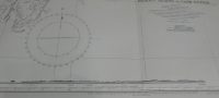
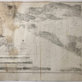
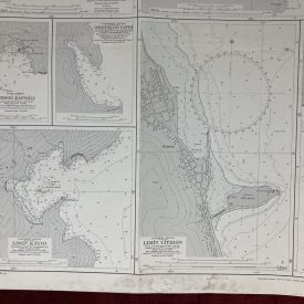
Condition: Folded as issued, light staining in the upper right quadrant, wrinkling along the folding line.
***
The item will be shipped in a cardboard tube.
For other details of item condition, please see the photos. More photos are available on demand. If you have any questions, feel free to contact us.