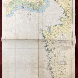
Nautical Chart of Australia Southern Portion
***
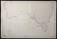
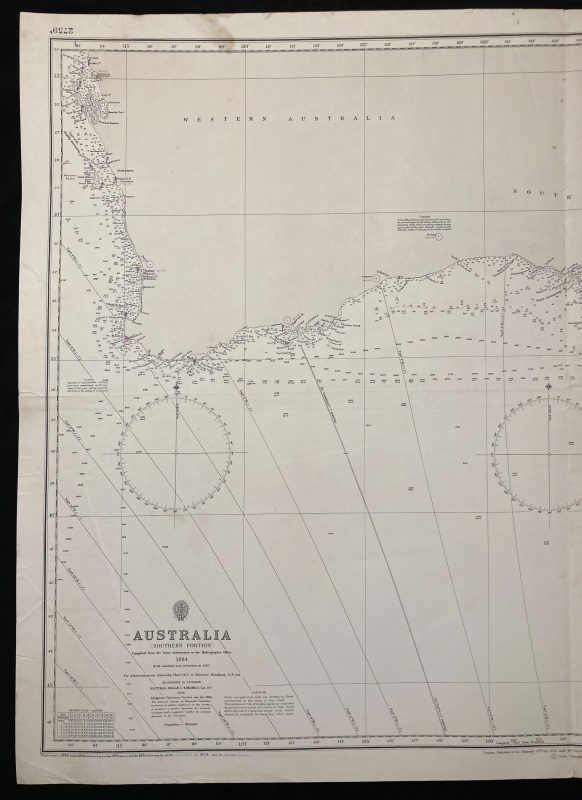
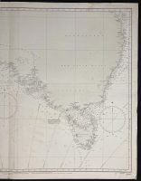
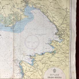
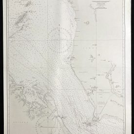
Nautical chart of the Southern portion of Australia, including Brisbane, Sydney, Melbourne, Adelaide, Perth, and Tasmania.
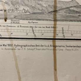
Originally published in 1885 by the Crown. Printed in London by Admiralty and under the superintendence of Captain W.J.L. Wharton.
***
Dimensions: 104 x 71 cm; 41 x 28 in
Year: 1972
Publisher: Admiralty
Place Of Publication: London
Author: Sir W.J.L. Wharton
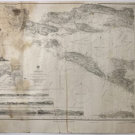
Condition: Folded as issued, paper slightly wrinkled in the lower right quadrant, two minor stains on the upper edge, tear in the middle of the lower edge (1cm).
***
The item will be shipped in a cardboard tube.
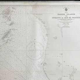
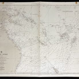
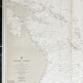
For other details of item condition, please see the photos. More photos are available on demand. If you have any questions, feel free to contact us.