NGA Nautical Chart 520: North Pacific Ocean (Eastern part)
***
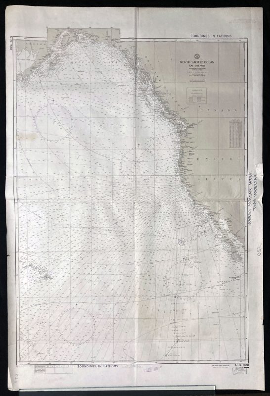
NGA International Nautical Chart 520, showing the Eastern part of the North Pacific Ocean: The East Coast of the United States, Hawaii, and the Gulf of Alaska.
NGA charts are printed using the most recent data from the National Geospatial-Intelligence Agency (NGA). Much of this data may no longer be current. Originally published in 1948, under the authority of the Secretary of the US Navy revised in 1973.
This chart was corrected through notice to all mariners in 1975, by the DMA depot in Clearfield, Utah.
***
Dimensions: 136 x 91 cm
Year: 1975
Author: Naval Oceanographic Office
Publisher: U.S. Naval Oceanographic Office
Place Of Publication: Washington D.C.
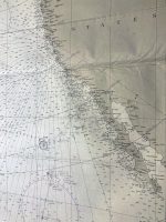
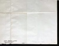
Condition: Folded as issued, tears on sides (up to 3cm) not affecting the print, slight staining around the edges, marker inscribing on the verso, pencil corrections on the chart, as seen in pictures.
***
The item will be shipped in a cardboard tube.
For other details of item condition, please see the photos. More photos are available on demand. If you have any questions, feel free to contact us.