Nautical Chart of the South Atlantic Ocean
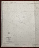
Ascension Island and Luanda to Walvis Bay
***
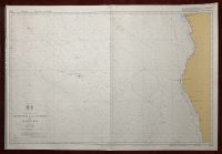
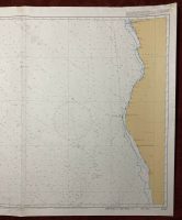
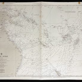
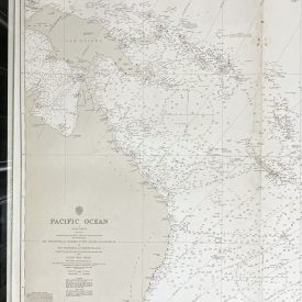
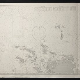
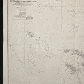
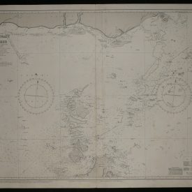
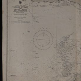
Nautical chart of the South Atlantic Ocean from Ascension Island and Luanda to Walvis Bay in Africa, showing the coast of Angola and Namibia. Initially published in Taunton in 1981 by the Crown under the superintendence of Rear Admiral D. W. Haslam.
***
Dimensions: 121,5 x 71 cm
Year: 1995
Publisher: Admiralty
Country of manufacture: United Kingdom
Place of publication: Taunton
Condition: Folded as issued, lower edge slightly warped, tear in the upper left corner not affecting the print, minor imperfections.
***
The item will be shipped in a cardboard tube.
For other details of the item’s condition, please see the photos. More photos are available on demand. If you have any questions, feel free to contact us.