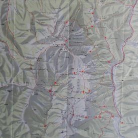
1950 Original Geographical Map Federativna Narodna Republika Jugoslavija Large
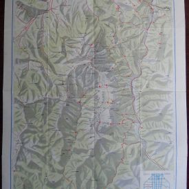
Original Geographical Map Federativna Narodna Republika Jugoslavija (Federal People’s Republic of Yugoslavia) – In Serbian language. An original and detailed big geographical map of Federal People’s Republic of Yugoslavia (FNRJ) made in 1950.
***
Dimensions: 127,5 x 127 cm. Scale: 1 : 750.000 Year: 1950. Printed by: Geografski Institut Jugoslovenske Armije
***
Condition: Signs of folding, damage along the lines of folding, damage along the edges, heavily worn, tears, stains, scotch tape on some of the lines of folding. Overall in bad condition (see picture).
***
For other details and condition see pictures and scans. If you have any questions, please contact us.