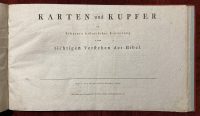

Karten und Kupfer
***
(Karten und Kupfer; The Maps and Copperplates) – In the German language. By Johann Ludwig Wilhelm Scherer. 24 maps and engravings.
***
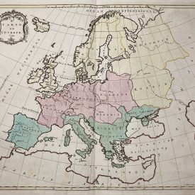
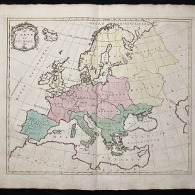
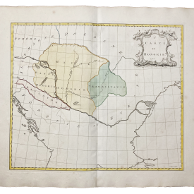
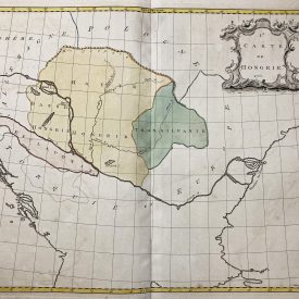
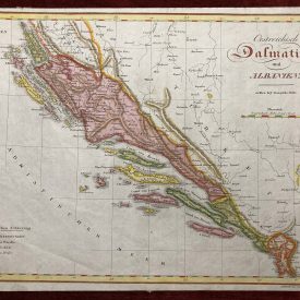
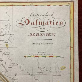
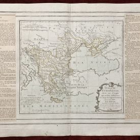
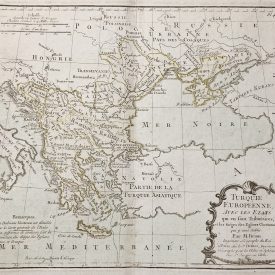
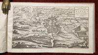
Discover a remarkable compilation featuring 24 rare maps and engravings from Johann Ludwig Wilhelm Scherer, meticulously printed in Halle in 1802. Notably, certain maps lack the publisher’s imprint on the cartouches, as this version is an advanced copy intended for the publisher.
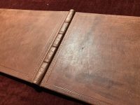
Encased in an elegant contemporary leather binding, this collection boasts maps of exceptional scarcity. Some lack the publisher’s legend, enhancing their uniqueness in the market. “Karten und Kupfer” serves as an invaluable addition to any map enthusiast’s collection.
The maps vary in dimensions, with some conveniently folding. Each map is well-preserved, exhibiting minimal signs of wear and aging, though a few may have slight stains.
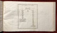
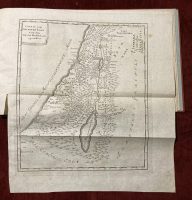
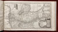
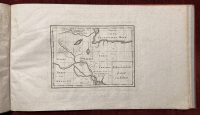
This curated selection of maps serves the purpose of providing a historical context for understanding the Bible. The initial page features a comprehensive list of all included maps for easy reference and exploration.
List
1) Tafel der Altvater von der Sundfluth
2) Wahrscheinliche Lage von Eden
3) Tafel der Altvater nach der Sundfluth bis auf Abraham
4) Karte von dem alten Aegzpten und den angranzenden Landern
5) Aegypten nach dem Zuftlande der alten Zeit
6) Karte von Szrien und Phonicien
7) Karte von der Eintheilung und Situation der Gefchlecther der Cananiter, Moabiter, Ammoniter etc. vor und zur Zeit des Auszugs der Israeliten
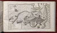
8) Lager der Israeliten nach dem Reyher und nach dem Lamy
9) Karte von der Reife der Israeliten durch die Wuften von dem Ausgange aus Aegypten bis an den Jordan
10) Karte von einem Theile des mittellandIschen Meeres
11) Karte vom gelobten Lande
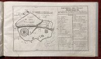
12) Grundrifs des Tempels zu Jerusalem durch den Konig-Salomo erbauet, nach Anzeige der Bucher der Konige und der Chroniken
13) Grundrifs von dem Modell des Salomonischen Tempels
14) Perspectivische Vorstellung des Temples Salomo’s auf der Nordfeite nach dem Hallischen Modell und Scheuchzer
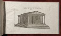
15) Vorstellung des Salomonischen Tempels von aufsen
16) Profil des Tempels Salomo’s auf der Nordfeite, weiches das, was im Tempel gewefen, anzeiget
17) Grundrif der Stadt Jerusalem nach Anleitung der Bescreibung in den Buchern alten Testaments, infonderheit in dem Buche Nehemia
18) Karte von dem Konigreiche Juda und Israel
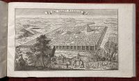
19) Die Stadt Babylon
20) Alt Griechenland, wie es zuerst in Konigreiche, dar nach in Republiken, und endlich von dern Romern in Provinzen ist abgetheilt gewefen.
21) Vorstellung des alten und neuen Athens
22) Heutiges Athen nach Mitternacht anzufehen
23) Abbildung des Tempels von der Minerva zu Athen
24) Karte von der Reise der Israeliten in der Wuften und der Eroberung und Eintheilung des Landes Canaan
***
Halle, Johann Jacob Gebauer, 1802.
***
Pp.: 24 plates
Size: 21 x 13 cm
***
Binding: Fine leather binding with blind-stamped spine cover. In perfect condition.
Condition: There are some minimal traces of wear and aging, and a few are slightly stained.
***
For item condition and details see the scans. For any additional questions feel free to contact us, we are eager to answer all of your questions!
Worldwide DHL shipping is included.
***