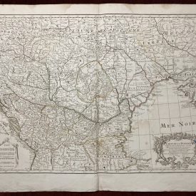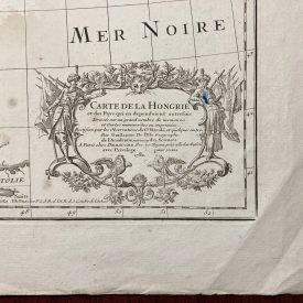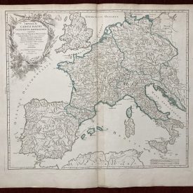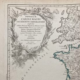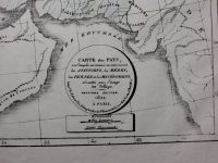
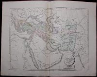
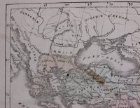
Carte de Pays, sur lesquels ont dominé successivement les Assyriens, les Mèdes, les Perses et les Macédoniens : dressée pour l’usage des Colléges, Deuxième Édition, 1822 À Paris
An antique map is showing territories which were dominated by Assyrians, Medes, Persians, and Macedonians. Handcolored map with title cartouche and scale at the bottom. Map 3 from Atlas Géographique by Henry Selves published in 1822.
***
Dimensions: 410 x 320 mm; 16 x 12 inches (approx)
Year: 1822
Engraver: Henry Antoine Auguste Selves
Technique: Lithography
Condition: Signs of folding, one minor stain, and one small pinhole. Otherwise in very good condition.
***
For other details and conditions see the scans. If you have any questions, feel free to contact us. More photos available on demand.
This is an original antique map. We don’t sell reproductions.
Item will be shipped in a cardboard tube. If you have any additional questions, please contact us.