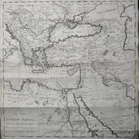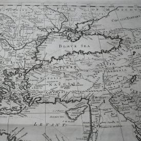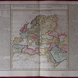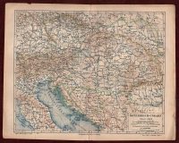
1885 Original Geographic Map Östereich-Ungarn Meyers Lexikon Austria Hungary GER
Original Geopolitical Map of Östereich-Ungarn (Austro-Hungarian Empire – In German language) Original detailed geographic map.
***
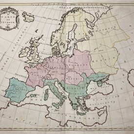
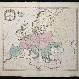
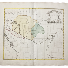
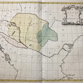
Dimensions: 30 x 24 cm. Scale: 1 : 5.000.000. Year: 1885. Map from 4th edition of Meyers Konversations-Lexikon, printed by Bibliographic Institute in Leipzig, showing borders of Austro-Hungarian Empire, with colored outlines.
***
Condition: Folded as issued, creases, minor tears.
***
For other details and condition see the scans
***
Note: This is an original geographic map. We don’t sell reproductions. Item will be shipped in cardboard tube.